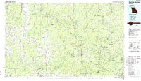
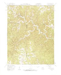
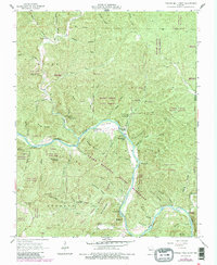
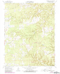
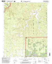
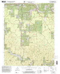
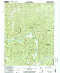
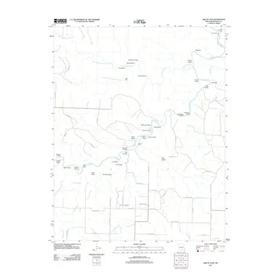
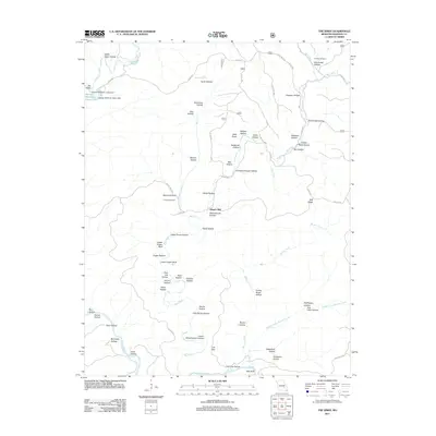
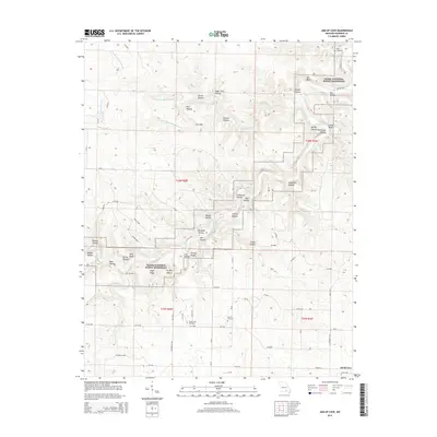
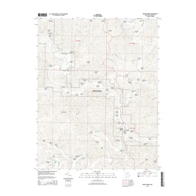
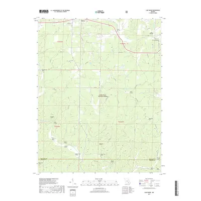
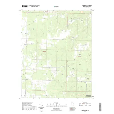
1986 Map of Spring Valley
USGS Topo · Published 1986About this map
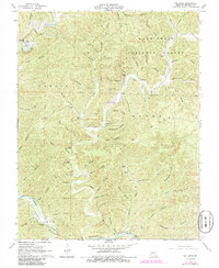
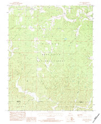
Mark Twain National Forest dominates this mid-1980s landscape of the Missouri Ozarks, characterized by an extensive system of state forests and protected riverways. The Current River and Jacks Fork are protected as part of the Ozark National Scenic Riverways, showing a region dedicated to conservation and natural resource management. Small agricultural and timber communities like Licking, Summersville, and Mountain View serve as local hubs, while industrial activity is noted at the Fletcher Mine and Adair Creek Mine.
Find a feature on this map
120 named features on this map. Tap any name to fly to it.
Don’t see what you’re looking for? This feature index may not catch every label — zoom into the map to look around manually.
Map Details
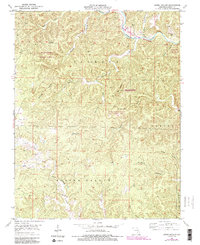
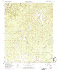
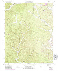
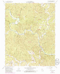
Editions of this 1986 Spring Valley Map
2 editions found
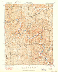
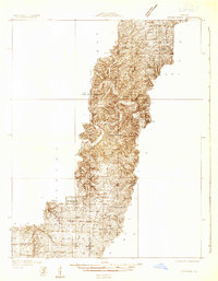
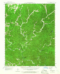
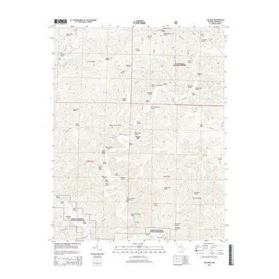
Historical Maps of Mountain View Through Time
61 maps found
1928 Cardareva
Shannon County, MO
1932 Cedar Grove
Shannon County, MO
1945 Round Spring
Shannon County, MO

1947 Sinkin
Shannon County, MO

1949 Cardareva
Shannon County, MO

1949 Round Spring
Shannon County, MO
1951 Cedargrove
Shannon County, MO
1951 Lewis Hollow
Shannon County, MO
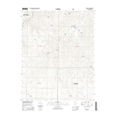
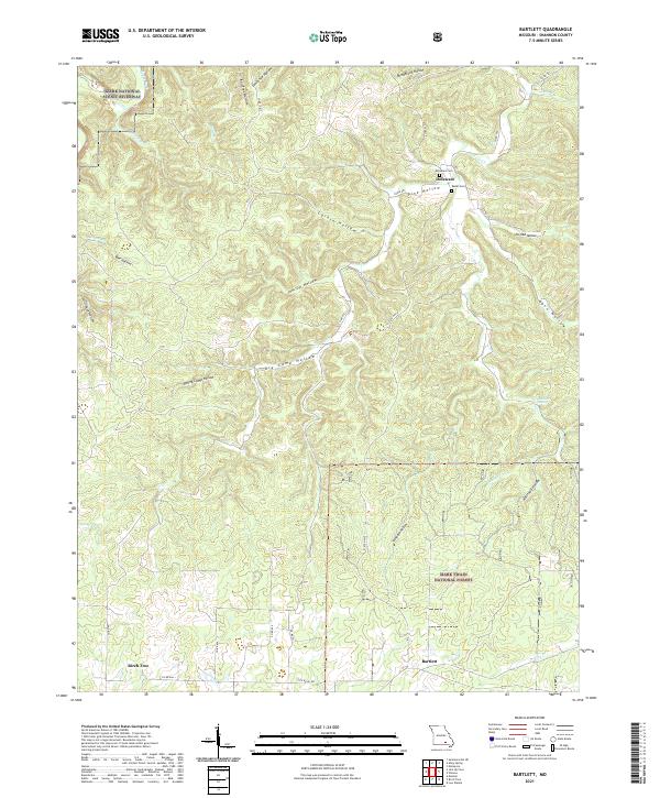
1964 Bartlett
Shannon County, MO
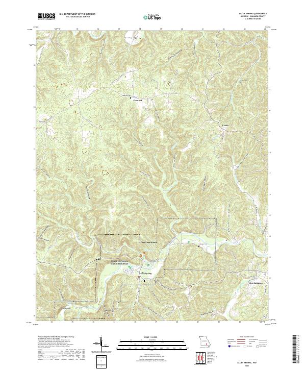
1965 Alley Spring
Shannon County, MO
1965 Powder Mill Ferry
Shannon County, MO
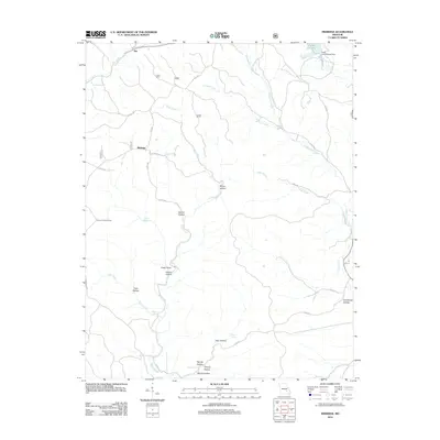
1966 Midridge
Shannon County, MO
1967 Round Spring
Shannon County, MO
1968 Jam Up Cave
Shannon County, MO
1968 Summersville NE
Shannon County, MO
1968 The Sinks
Shannon County, MO
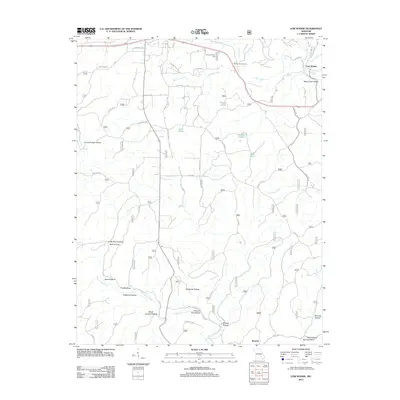
1983 Low Wassie
Shannon County, MO
1986 Spring Valley
Shannon County, MO
1997 Bartlett
Shannon County, MO
1997 Low Wassie
Shannon County, MO
1997 Powder Mill Ferry
Shannon County, MO

2011 Alley Spring
Shannon County, MO
2011 Bartlett
Shannon County, MO
2011 Jam Up Cave
Shannon County, MO

2011 Lewis Hollow
Shannon County, MO
2011 Powder Mill Ferry
Shannon County, MO
2011 Round Spring
Shannon County, MO
2011 Summersville NE
Shannon County, MO
2011 The Sinks
Shannon County, MO
2012 Low Wassie
Shannon County, MO
2012 Midridge
Shannon County, MO

2015 Alley Spring
Shannon County, MO
2015 Bartlett
Shannon County, MO
2015 Jam Up Cave
Shannon County, MO

2015 Lewis Hollow
Shannon County, MO
2015 Low Wassie
Shannon County, MO
2015 Midridge
Shannon County, MO
2015 Powder Mill Ferry
Shannon County, MO
2015 Round Spring
Shannon County, MO

2015 Summersville NE
Shannon County, MO
2015 The Sinks
Shannon County, MO

2017 Alley Spring
Shannon County, MO
2017 Bartlett
Shannon County, MO
2017 Jam Up Cave
Shannon County, MO

2017 Lewis Hollow
Shannon County, MO
2017 Low Wassie
Shannon County, MO
2017 Midridge
Shannon County, MO
2017 Powder Mill Ferry
Shannon County, MO
2017 Round Spring
Shannon County, MO
2017 Summersville NE
Shannon County, MO
2017 The Sinks
Shannon County, MO
2021 Alley Spring
Shannon County, MO
2021 Bartlett
Shannon County, MO
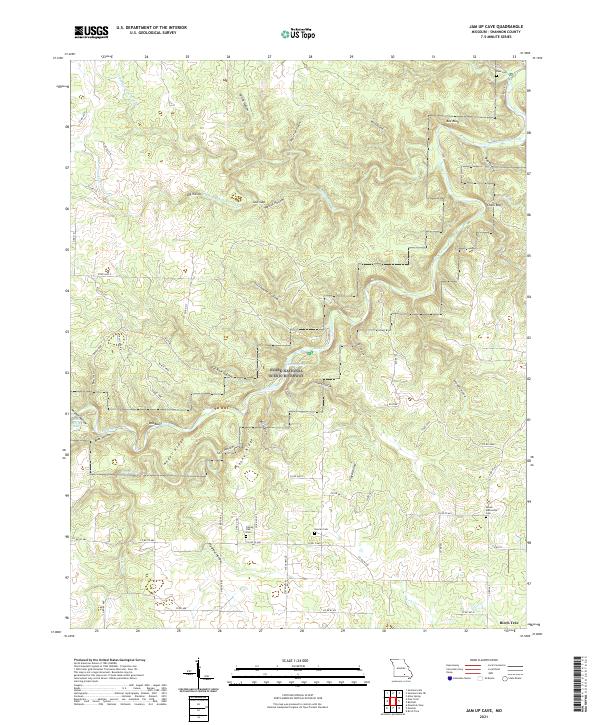
2021 Jam Up Cave
Shannon County, MO
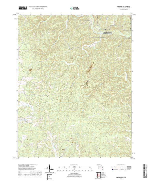
2021 Lewis Hollow
Shannon County, MO
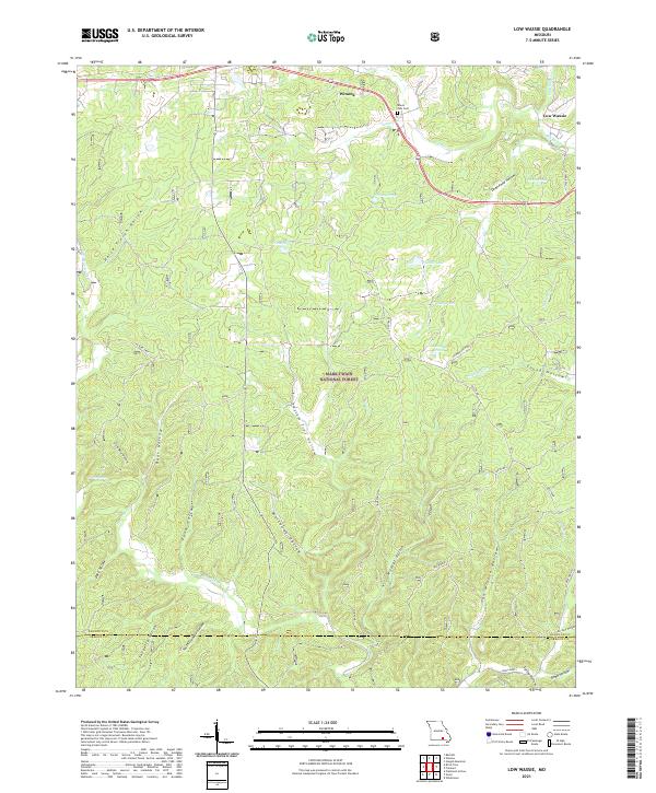
2021 Low Wassie
Shannon County, MO
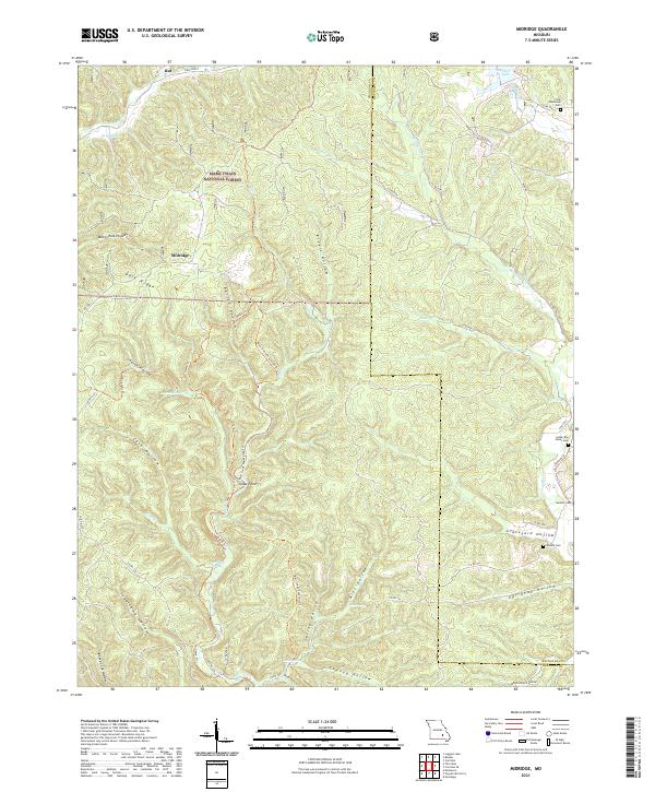
2021 Midridge
Shannon County, MO
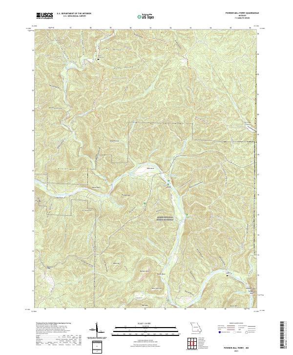
2021 Powder Mill Ferry
Shannon County, MO
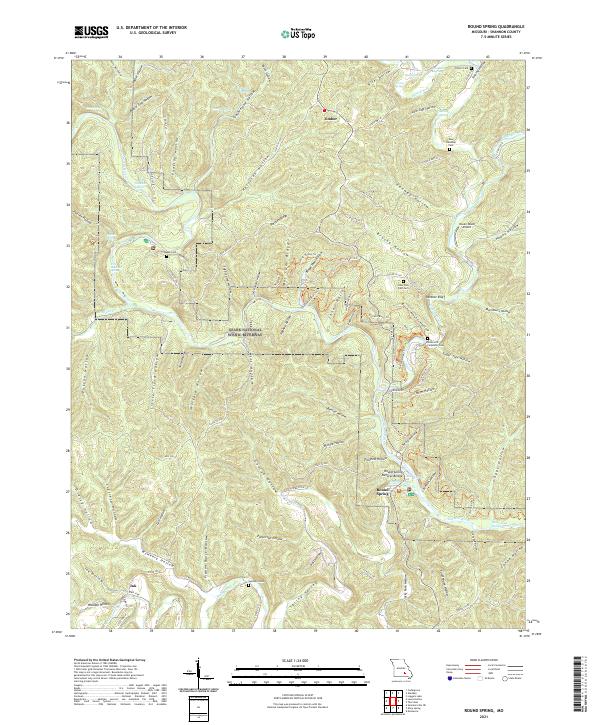
2021 Round Spring
Shannon County, MO
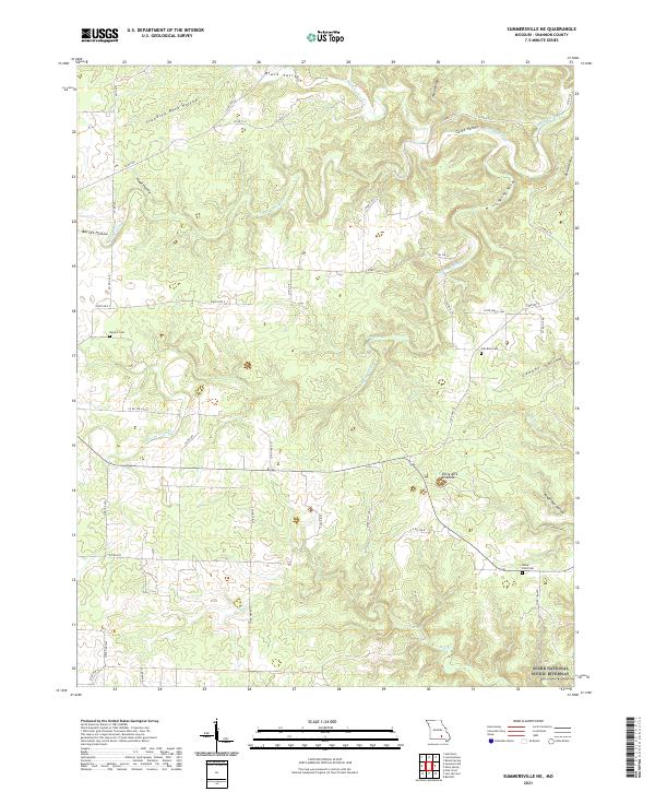
2021 Summersville NE
Shannon County, MO
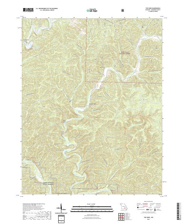
2021 The Sinks
Shannon County, MO