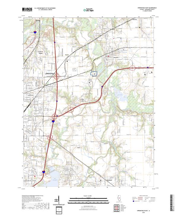
2024 Map of Springfield East
USGS Topo · Published 2024About this map
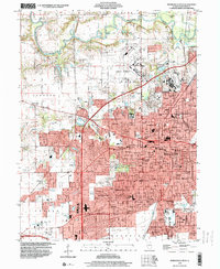
The eastern edges of Springfield meet a landscape shaped by water and remembrance in this modern Sangamon County survey. The Sangamon River meanders across the northern half of the sheet, feeding into wetlands and smaller bodies like Mud Lake and Clear Lake. The presence of the Camp Butler National Cem stands as a significant landmark, surrounded by several smaller family or local burial grounds including Ladysmith Cem and Mallory Cem.
Find a feature on this map
230 named features on this map. Tap any name to fly to it.
Don’t see what you’re looking for? This feature index may not catch every label — zoom into the map to look around manually.
Map Details
Editions of this 2024 Springfield East Map
This is the sole edition of this map. No revisions or reprints were ever made.
Historical Maps of Keys Through Time
17 maps found
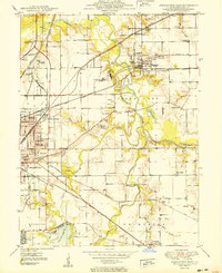
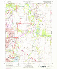
1950 Springfield East
Sangamon County, IL
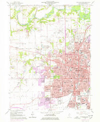
1950 Springfield West
Sangamon County, IL
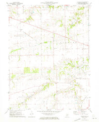
1961 New City
Sangamon County, IL
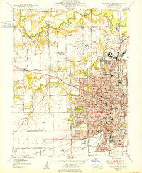
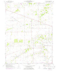
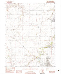
1965 Springfield East
Sangamon County, IL
1965 Springfield West
Sangamon County, IL
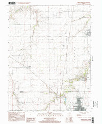
1971 Farmingdale
Sangamon County, IL
1976 Farmingdale
Sangamon County, IL
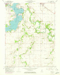
1983 Virden North
Sangamon County, IL
1998 New City
Sangamon County, IL
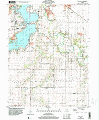
1998 Springfield East
Sangamon County, IL
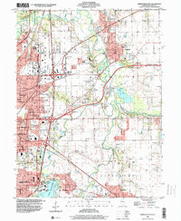
1998 Springfield West
Sangamon County, IL
1998 Virden North
Sangamon County, IL
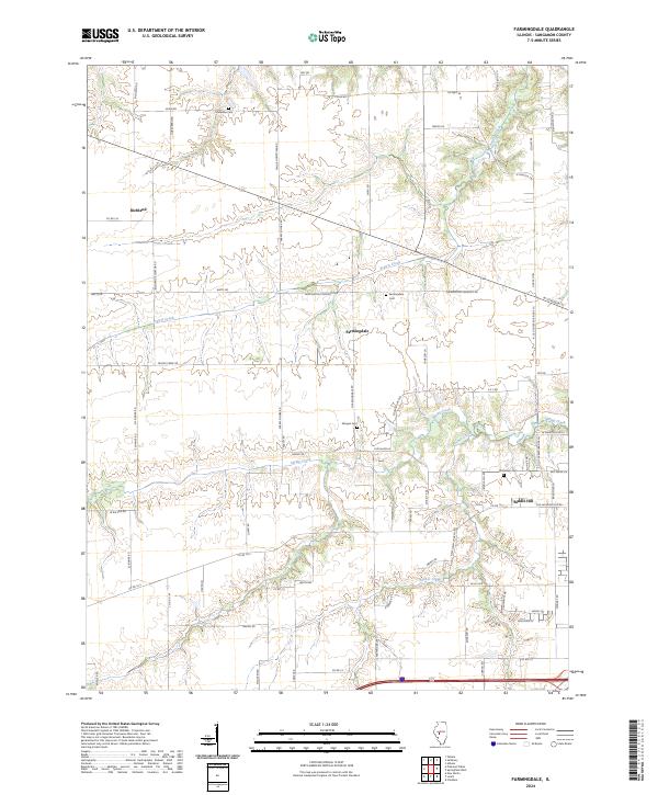
2024 Farmingdale
Sangamon County, IL
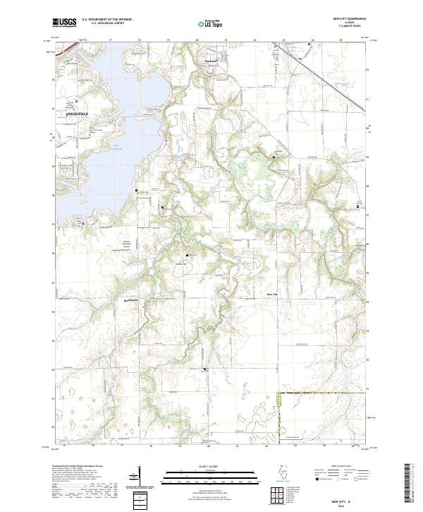
2024 New City
Sangamon County, IL
2024 Springfield East
Sangamon County, IL
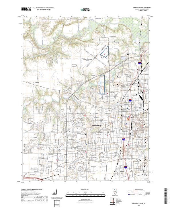
2024 Springfield West
Sangamon County, IL
2024 Virden North
Sangamon County, IL