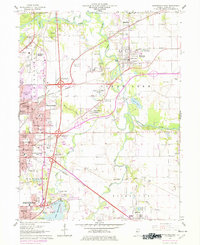
1965 Map of Springfield East
USGS Topo · Published 1978About this map
The Sangamon River and its major tributaries, including Sugar Creek and Fancy Creek, define the landscape east of the Illinois state capital during the mid-1960s. This era shows a complex transition from industrial activity to suburban expansion, evidenced by numerous claypits and a Mine Dump sitting alongside developing neighborhoods like Arlington Heights and Devereux Heights. The presence of St Johns Sanitarium and the US Naval Training Sta near Lake Springfield highlights the area's diverse institutional history. Genealogists will find a high density of burial sites, from the prominent Camp Butler Cem to smaller family or local grounds such as Shaft Pond Ladysmith Cem, Mallory Cem, and Bissell Cem. The rail-heavy economy of the period is clear, with five major lines including the Illinois Central and Norfolk and Western intersecting the terrain.
Find a feature on this map
89 named features on this map. Tap any name to fly to it.
Don’t see what you’re looking for? This feature index may not catch every label — zoom into the map to look around manually.
Map Details
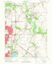
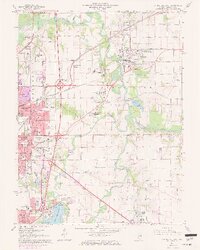
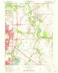
Editions of this 1965 Springfield East Map
4 editions found
Other maps of this area

1907 · Springfield
USGS Topo · 1:62,500

1922 · Divernon
USGS Topo · 1:62,500

1923 · Taylorville
USGS Topo · 1:62,500

1924 · Divernon
USGS Topo · 1:62,500

1925 · Taylorville
USGS Topo · 1:62,500

1930 · Springfield
USGS Topo · 1:62,500

1940 · Springfield
USGS Topo · 1:62,500

1950 · Springfield West
USGS Topo · 1:24,000

1950 · Springfield East
USGS Topo · 1:24,000

1954 · Mechanicsburg
USGS Topo · 1:62,500