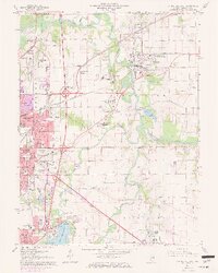
1965 Map of Springfield East
USGS Topo · Published 1972About this map
Sangamon River and its South Fork anchor this 1965 survey of the eastern Springfield periphery, capturing a landscape of institutional history and mid-century growth. The map highlights significant regional landmarks including St Johns Sanitarium and the sprawling grounds of Camp Butler. Near the riverbanks, heavy industry is represented by numerous Claypits, while the burgeoning suburban character of the era is evident in neighborhoods like Arlington Heights, Grandview, and Southlawn.
Find a feature on this map
65 named features on this map. Tap any name to fly to it.
Don’t see what you’re looking for? This feature index may not catch every label — zoom into the map to look around manually.
Map Details
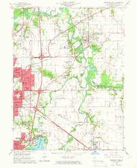
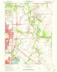
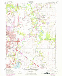
Editions of this 1965 Springfield East Map
4 editions found
Other maps of this area

1907 · Springfield
USGS Topo · 1:62,500

1922 · Divernon
USGS Topo · 1:62,500

1923 · Taylorville
USGS Topo · 1:62,500

1924 · Divernon
USGS Topo · 1:62,500

1925 · Taylorville
USGS Topo · 1:62,500

1930 · Springfield
USGS Topo · 1:62,500

1940 · Springfield
USGS Topo · 1:62,500

1950 · Springfield West
USGS Topo · 1:24,000

1950 · Springfield East
USGS Topo · 1:24,000

1954 · Mechanicsburg
USGS Topo · 1:62,500