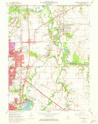
1965 Map of Springfield East
USGS Topo · Published 1973About this map
The Sangamon River meanders across this mid-1960s landscape, defining the character of the river bluffs east of Springfield. The survey documents a critical period of infrastructure growth, showing the complex Sangamon Ave Interchange and the expansive Lake Springfield reservoir system complete with the Spaulding Dam and waterworks. To the east, the village of Riverton is surrounded by legacy industry and transit, including numerous claypits and a network of competing rail lines like the Illinois Terminal and the Baltimore and Ohio.
Find a feature on this map
79 named features on this map. Tap any name to fly to it.
Don’t see what you’re looking for? This feature index may not catch every label — zoom into the map to look around manually.
Map Details
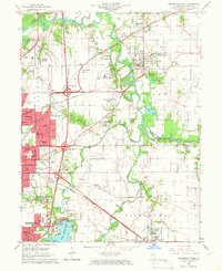
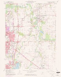
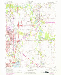
Editions of this 1965 Springfield East Map
4 editions found
Other maps of this area

1907 · Springfield
USGS Topo · 1:62,500

1922 · Divernon
USGS Topo · 1:62,500

1923 · Taylorville
USGS Topo · 1:62,500

1924 · Divernon
USGS Topo · 1:62,500

1925 · Taylorville
USGS Topo · 1:62,500

1930 · Springfield
USGS Topo · 1:62,500

1940 · Springfield
USGS Topo · 1:62,500

1950 · Springfield West
USGS Topo · 1:24,000

1950 · Springfield East
USGS Topo · 1:24,000

1954 · Mechanicsburg
USGS Topo · 1:62,500