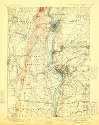
1895 Map of Springfield
USGS Topo · Published 1909About this map
The Connecticut River serves as the industrial and geographical spine of this late-19th-century landscape, fueling the development of Springfield, Holyoke, and Chicopee. A complex web of rail lines, including the Boston & Albany R.R. and the Northampton Div. N.Y.N.H. & H. R.R., crisscrosses the river valley, connecting the dense urban grids to outlying manufacturing centers like Indian Orchard and Chicopee Falls. To the south, the map extends across the Boundary Line into Connecticut, capturing the settlement of Thompsonville and the distinct community at Shakers near Shaker Pond. This survey details a transitional era when riverside villages like Merrick and Mittineague were thriving hubs of labor and transport, while the surrounding uplands at Mt. Tom and Proven Mt. remained as topographic anchors overlooking the expanding valley corridor.
Find a feature on this map
102 named features on this map. Tap any name to fly to it.
Don’t see what you’re looking for? This feature index may not catch every label — zoom into the map to look around manually.
Map Details
Editions of this 1895 Springfield Map
11 editions found

1895 edition
15.8 x 19.9 inches
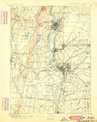
1900 edition
15.8 x 19.8 inches
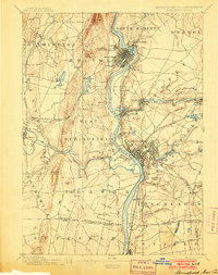
1903 edition
15.8 x 19.9 inches
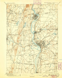
1905 edition
15.8 x 19.8 inches
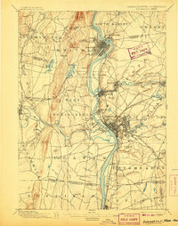
1907 edition
15.7 x 20 inches
1909 edition
15.7 x 19.9 inches
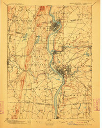
1912 edition
15.8 x 19.8 inches
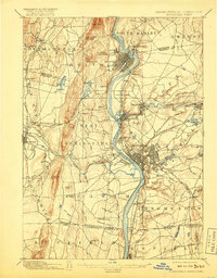
1917 edition
15.7 x 20.1 inches
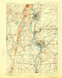
1924 edition
15.8 x 19.8 inches
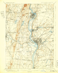
1932 edition
15.7 x 19.7 inches
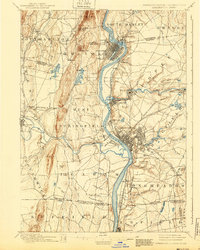
1940 edition
15.8 x 19.7 inches
Other maps of this area

1885 · Northampton
USGS Topo · 1:62,500

1886 · Springfield
USGS Topo · 1:62,500

1886 · Chesterfield
USGS Topo · 1:62,500

1886 · Northampton
USGS Topo · 1:62,500

1887 · Palmer
USGS Topo · 1:62,500

1887 · Belchertown
USGS Topo · 1:62,500

1887 · Granville
USGS Topo · 1:62,500

1888 · Chesterfield
USGS Topo · 1:62,500

1889 · Springfield
USGS Topo · 1:62,500

1889 · Palmer
USGS Topo · 1:62,500