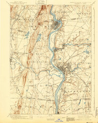
1895 Map of Springfield
USGS Topo · Published 1940About this map
The industrial and riverine character of the Connecticut River Valley is captured here just before the turn of the century, centered on the growing urban cores of Springfield and Holyoke. This 1895 edition highlights a landscape defined by water power and rail connectivity, where the Westfield River joins the main channel and numerous ponds like Water Shop Pond and Ashley Pond supported local industry. The map reveals the intricate network of the Boston & Albany R.R. and several other lines that spurred the growth of satellite communities such as Chicopee Falls and Indian Orchard. To the west, the terrain rises sharply toward Mt. Tom and Proven Mt., providing a stark contrast to the densely settled riverbanks. For those tracing the evolution of western Massachusetts, the inclusion of smaller stops like Shaker Sta. and the rural transition across the Massachusetts-Connecticut boundary line offers a detailed look at the region's late-19th-century geography.
Find a feature on this map
100 named features on this map. Tap any name to fly to it.
Don’t see what you’re looking for? This feature index may not catch every label — zoom into the map to look around manually.
Map Details
Editions of this 1895 Springfield Map
11 editions found

1895 edition
15.8 x 19.9 inches
1900 edition
15.8 x 19.8 inches
1903 edition
15.8 x 19.9 inches
1905 edition
15.8 x 19.8 inches
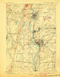
1907 edition
15.7 x 20 inches
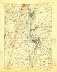
1909 edition
15.7 x 19.9 inches
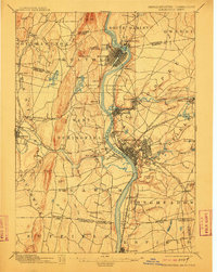
1912 edition
15.8 x 19.8 inches
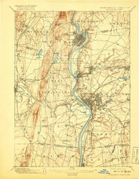
1917 edition
15.7 x 20.1 inches
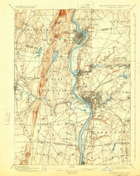
1924 edition
15.8 x 19.8 inches
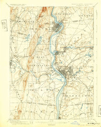
1932 edition
15.7 x 19.7 inches
1940 edition
15.8 x 19.7 inches
Other maps of this area

1885 · Northampton
USGS Topo · 1:62,500

1886 · Springfield
USGS Topo · 1:62,500

1886 · Chesterfield
USGS Topo · 1:62,500

1886 · Northampton
USGS Topo · 1:62,500

1887 · Palmer
USGS Topo · 1:62,500

1887 · Belchertown
USGS Topo · 1:62,500

1887 · Granville
USGS Topo · 1:62,500

1888 · Chesterfield
USGS Topo · 1:62,500

1889 · Springfield
USGS Topo · 1:62,500

1889 · Palmer
USGS Topo · 1:62,500