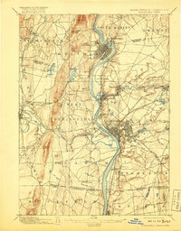
1895 Map of Springfield
USGS Topo · Published 1917About this map
The Connecticut River serves as the central artery for this late 19th-century survey of the Pioneer Valley, where industrial development and rail networks intersect with the regional topography. The map illustrates the dense urban grids of Springfield and Holyoke at a time when water power and transportation were paramount. Numerous rail lines converge on the area, including the Boston & Albany R.R. and the Northampton Div. N.Y.N.H. & H.R.R., which provided critical links for the mills of Chicopee Falls and Indian Orchard.
Find a feature on this map
102 named features on this map. Tap any name to fly to it.
Don’t see what you’re looking for? This feature index may not catch every label — zoom into the map to look around manually.
Map Details
Editions of this 1895 Springfield Map
11 editions found

1895 edition
15.8 x 19.9 inches
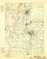
1900 edition
15.8 x 19.8 inches
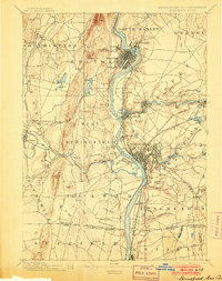
1903 edition
15.8 x 19.9 inches
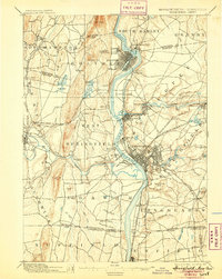
1905 edition
15.8 x 19.8 inches
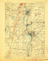
1907 edition
15.7 x 20 inches
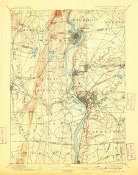
1909 edition
15.7 x 19.9 inches
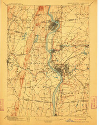
1912 edition
15.8 x 19.8 inches
1917 edition
15.7 x 20.1 inches
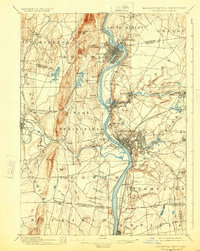
1924 edition
15.8 x 19.8 inches
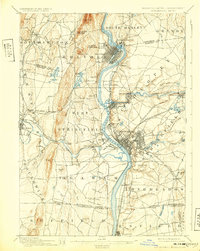
1932 edition
15.7 x 19.7 inches
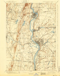
1940 edition
15.8 x 19.7 inches
Other maps of this area

1885 · Northampton
USGS Topo · 1:62,500

1886 · Springfield
USGS Topo · 1:62,500

1886 · Chesterfield
USGS Topo · 1:62,500

1886 · Northampton
USGS Topo · 1:62,500

1887 · Palmer
USGS Topo · 1:62,500

1887 · Belchertown
USGS Topo · 1:62,500

1887 · Granville
USGS Topo · 1:62,500

1888 · Chesterfield
USGS Topo · 1:62,500

1889 · Springfield
USGS Topo · 1:62,500

1889 · Palmer
USGS Topo · 1:62,500