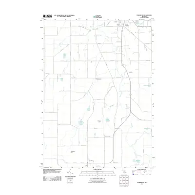
2011 Map of Springport
USGS Topo · Published 2011About this map
Eaton Rapids sits at the northern edge of this survey, where the Grand River flows through a landscape defined by glacial hydrology and agricultural settlement. The map traces the winding course of Spring Brook as it moves north toward the river, passing the small communities of Charlesworth and Springport. This section of Eaton County is punctuated by numerous kettle lakes and wetlands, including Loomis Lake, Gurley Lake, and the Montague Lakes. Higher ground is marked by named elevations such as Holibaugh Hills and the Jerusalem Hills to the south. For those researching local families, the map identifies several historic burial grounds, including Rose Hill Cemetery, Oakwood Cemetery, Pierson Cemetery, and Springport Cemetery, providing a precise look at the rural township structure and the network of highways like E Spicerville Hwy and Springport Rd.
Find a feature on this map
83 named features on this map. Tap any name to fly to it.
Don’t see what you’re looking for? This feature index may not catch every label — zoom into the map to look around manually.
Map Details
Editions of this 2011 Springport Map
This is the sole edition of this map. No revisions or reprints were ever made.
Other maps of this area

1910 · Lansing
USGS Topo · 1:62,500

1912 · Lansing
USGS Topo · 1:62,500

1919 · Springport
USGS Topo · 1:62,500

1921 · Springport
USGS Topo · 1:62,500

1921 · Marshall
USGS Topo · 1:62,500

1923 · Marshall
USGS Topo · 1:62,500

1943 · Marshall
USGS Topo · 1:62,500

1949 · Charlotte
USGS Topo · 1:62,500

1958 · Grand Rapids
USGS Topo · 1:250,000

1961 · Grand Rapids
USGS Topo · 1:250,000