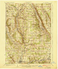
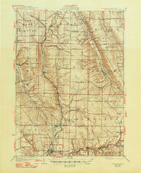
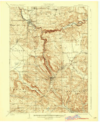
1925 Map of Springville
USGS Topo · Published 1925About this map
Springville serves as the primary hub in the south, where the Buffalo Rochester and Pittsburgh RR and Pennsylvania RR converge amidst a landscape deeply carved by Cazenovia Creek and Cattaraugus Creek. The topography is defined by significant ridges and valleys, such as Blanchard Hill and Chestnut Ridge, which dictated the early settlement patterns of rural Erie County. This era was characterized by a dense network of one-room schoolhouses, including Bragg School, Hays Hollow School, and The Forks School No 8, which anchored small agricultural communities like Griffins Mills and Glenwood. The presence of numerous benchmarks and named landmarks like Hecht Bridge provides a high degree of precision for locating former homesteads and early twentieth-century infrastructure along the Genesee Road and the various branches of the Buffalo Creek.
Find a feature on this map
93 named features on this map. Tap any name to fly to it.
Don’t see what you’re looking for? This feature index may not catch every label — zoom into the map to look around manually.
Map Details
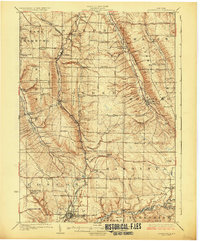
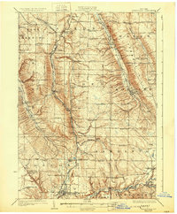
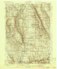
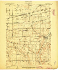
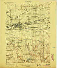
Editions of this 1925 Springville Map
5 editions found
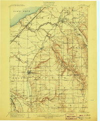
Other maps of this area

1894 · Buffalo
USGS Topo · 1:62,500

1901 · Buffalo
USGS Topo · 1:62,500
1905 · Attica
USGS Topo · 1:62,500
1905 · Depew
USGS Topo · 1:62,500

1905 · Eden
USGS Topo · 1:62,500
1907 · Eden
USGS Topo · 1:62,500
1923 · Cattaraugus
USGS Topo · 1:62,500
1923 · Arcade
USGS Topo · 1:62,500
1924 · Ellicottville
USGS Topo · 1:62,500
1924 · Franklinville
USGS Topo · 1:62,500