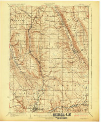
1925 Map of Springville
USGS Topo · Published 1925About this map
Springville anchors the southern edge of this Erie County landscape, where the Buffalo Rochester and Pittsburgh railroad follows the winding path of Cattaraugus Creek. The topography is defined by significant ridges and hollows, including Chestnut Ridge and Townsend Hill, which separate the various creek valleys. Numerous small rural settlements and crossroads like Griffins Mills, South Wales, and Glenwood are connected by a network of early roads such as Genesee Road and Birdsell Road.
Find a feature on this map
83 named features on this map. Tap any name to fly to it.
Don’t see what you’re looking for? This feature index may not catch every label — zoom into the map to look around manually.
Map Details
Editions of this 1925 Springville Map
5 editions found

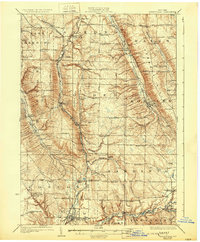

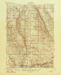
Other maps of this area

1894 · Buffalo
USGS Topo · 1:62,500

1901 · Buffalo
USGS Topo · 1:62,500

1905 · Attica
USGS Topo · 1:62,500

1905 · Depew
USGS Topo · 1:62,500

1905 · Eden
USGS Topo · 1:62,500

1907 · Eden
USGS Topo · 1:62,500

1923 · Cattaraugus
USGS Topo · 1:62,500

1923 · Arcade
USGS Topo · 1:62,500

1924 · Ellicottville
USGS Topo · 1:62,500

1924 · Franklinville
USGS Topo · 1:62,500