
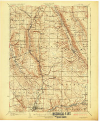
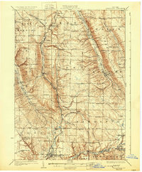
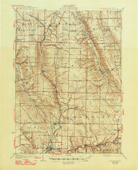
1925 Map of Springville
USGS Topo · Published 1942About this map
Cattaraugus Creek defines the southern boundary of this 1920s landscape, where rural town life centered on a dense network of district schools and rail connections. The map shows a transition from the rolling highlands of Townsend Hill and Chestnut Ridge down toward the growing village of Springville. This era is characterized by a remarkable number of active neighborhood schoolhouses, such as Hays Hollow School and Brink School, serving farming communities before the consolidation of rural districts.
Find a feature on this map
84 named features on this map. Tap any name to fly to it.
Don’t see what you’re looking for? This feature index may not catch every label — zoom into the map to look around manually.
Map Details
Editions of this 1925 Springville Map
5 editions found

Other maps of this area

1894 · Buffalo
USGS Topo · 1:62,500

1901 · Buffalo
USGS Topo · 1:62,500

1905 · Attica
USGS Topo · 1:62,500

1905 · Depew
USGS Topo · 1:62,500

1905 · Eden
USGS Topo · 1:62,500

1907 · Eden
USGS Topo · 1:62,500

1923 · Cattaraugus
USGS Topo · 1:62,500

1923 · Arcade
USGS Topo · 1:62,500

1924 · Ellicottville
USGS Topo · 1:62,500

1924 · Franklinville
USGS Topo · 1:62,500