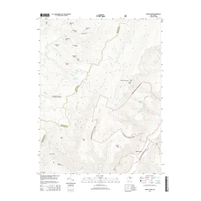
2014 Map of Spruce Knob
USGS Topo · Published 2014About this map
Spruce Knob, the highest point in West Virginia, anchors the eastern edge of the Allegheny Mountains in this survey of the high mountain terrain. The landscape is defined by the expansive Monongahela National Forest, where steep ridges like Leading Ridge and Narrow Ridge separate deep hollows named for early families, including Lafe Hedrick Hollow and Lee Bennett Hollow. The settlement of Cherry Grove sits at the base of these heights, marking a point of transition between the mountain wilderness and the river valleys.
Find a feature on this map
45 named features on this map. Tap any name to fly to it.
Don’t see what you’re looking for? This feature index may not catch every label — zoom into the map to look around manually.
Map Details
Editions of this 2014 Spruce Knob Map
This is the sole edition of this map. No revisions or reprints were ever made.
Other maps of this area

1889 · Beverly
USGS Topo · 1:125,000

1892 · Beverly
USGS Topo · 1:125,000

1892 · Franklin
USGS Topo · 1:125,000

1896 · Franklin
USGS Topo · 1:125,000

1920 · Onego
USGS Topo · 1:62,500

1921 · Onego
USGS Topo · 1:48,000

1922 · Onego
USGS Topo · 1:62,500

1922 · Horton
USGS Topo · 1:48,000

1922 · Spruce Knob
USGS Topo · 1:48,000

1922 · Circleville
USGS Topo · 1:62,500