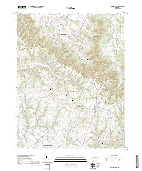
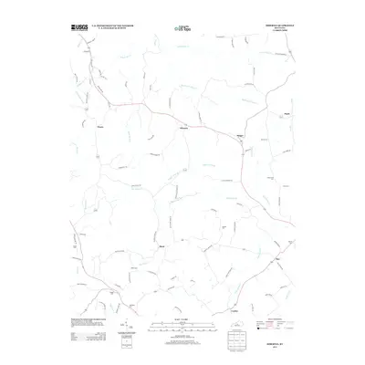
2022 Map of Spurlington
USGS Topo · Published 2022About this map
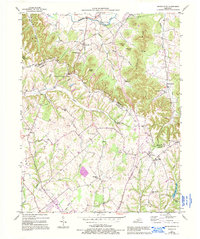
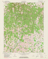
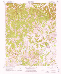
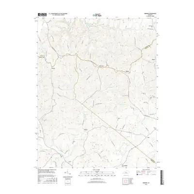
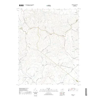
Muldraugh Hill and the surrounding heights of Shingle Knob and Paine Knob dominate this landscape in north-central Kentucky. The terrain is deeply incised by the headwaters of Rolling Fork and Little Pitman Cr, creating a complex network of ridges where several family-named cemeteries are preserved, including the Benningfield Cem and Richeson - Rafferty Cem. The settlement pattern follows the contours of the land, with small communities like Finley, Jessietown, and Spurlington connected by winding ridge-top roads.
Find a feature on this map
112 named features on this map. Tap any name to fly to it.
Don’t see what you’re looking for? This feature index may not catch every label — zoom into the map to look around manually.
Map Details
Editions of this 2022 Spurlington Map
This is the sole edition of this map. No revisions or reprints were ever made.
Historical Maps of Campbellsville Through Time
27 maps found
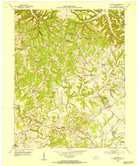
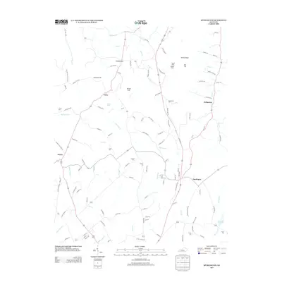
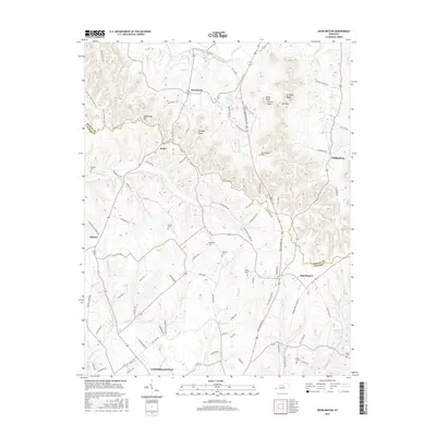
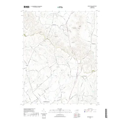
1952 Mannsville
Taylor County, KY
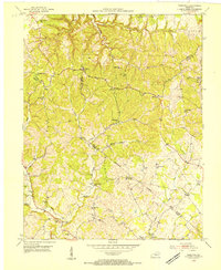
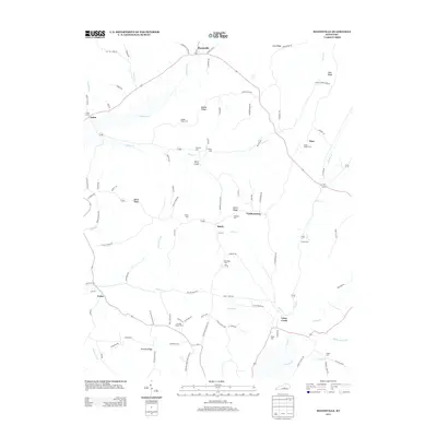
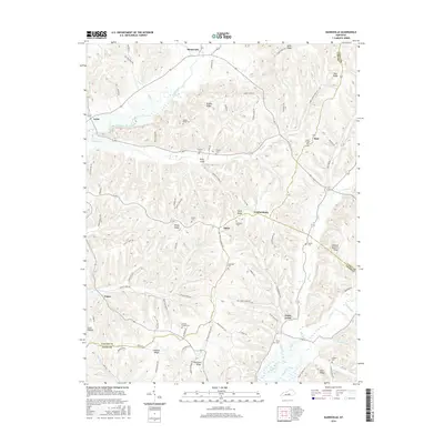
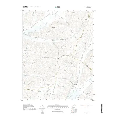
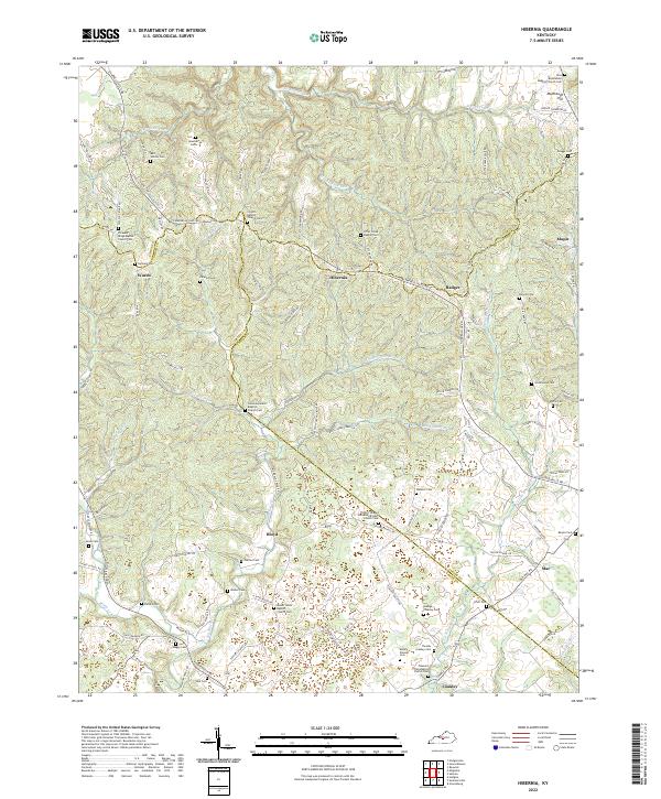
1953 Hibernia
Taylor County, KY
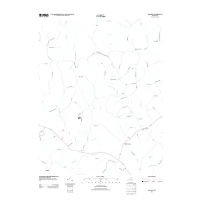
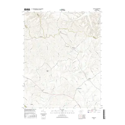
1953 Saloma
Taylor County, KY
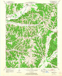
1953 Spurlington
Taylor County, KY
1961 Hibernia
Taylor County, KY
1961 Saloma
Taylor County, KY
1970 Mannsville
Taylor County, KY
2010 Hibernia
Taylor County, KY
2010 Mannsville
Taylor County, KY
2010 Saloma
Taylor County, KY
2010 Spurlington
Taylor County, KY
2013 Hibernia
Taylor County, KY
2013 Mannsville
Taylor County, KY
2013 Saloma
Taylor County, KY
2013 Spurlington
Taylor County, KY
2016 Hibernia
Taylor County, KY
2016 Mannsville
Taylor County, KY
2016 Saloma
Taylor County, KY
2016 Spurlington
Taylor County, KY
2019 Hibernia
Taylor County, KY
2019 Mannsville
Taylor County, KY
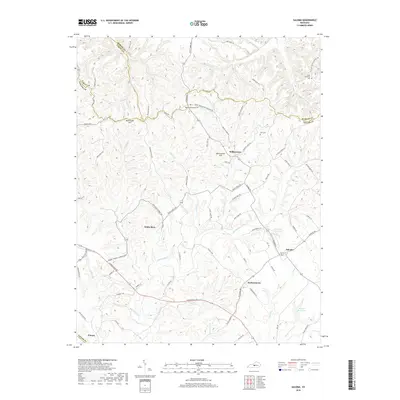
2019 Saloma
Taylor County, KY
2019 Spurlington
Taylor County, KY
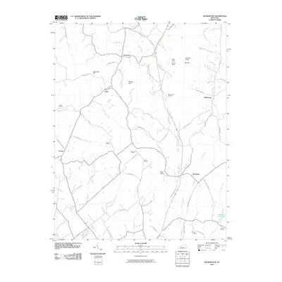
2022 Hibernia
Taylor County, KY
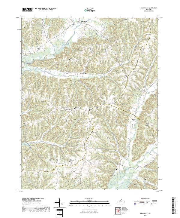
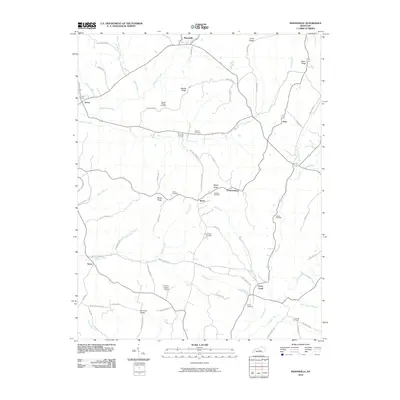
2022 Mannsville
Taylor County, KY
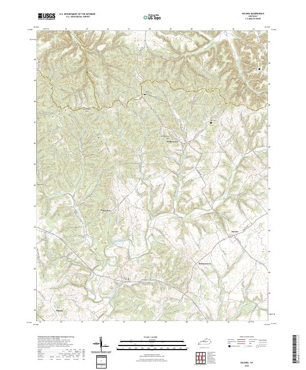
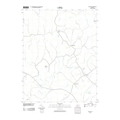
2022 Saloma
Taylor County, KY
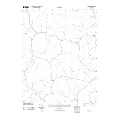
2022 Spurlington
Taylor County, KY