
1931 Map of Square Lake
USGS Topo · Published 1931About this map
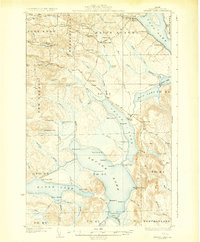
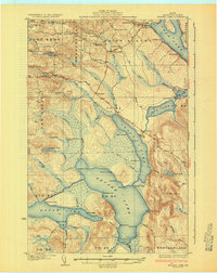
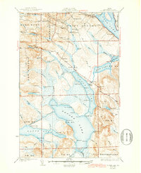
Square Lake and the interconnected Fish River chain dominate this 1931 survey of northern Aroostook County. The landscape is defined by the glacial lakes and the early development of small communities like St Agatha and Red Point City. In the northern section, a concentration of one-room schoolhouses—including the Washington Sch, Lincoln Sch, and Webster Sch—reflects the dispersed rural population of the Frenchville and Saint Agatha townships. The timber-driven economy is signaled by the Carriveau Mill and numerous camps such as Michaud Camp and Fraser Camp located along the lake shores.
Find a feature on this map
82 named features on this map. Tap any name to fly to it.
Don’t see what you’re looking for? This feature index may not catch every label — zoom into the map to look around manually.
Map Details
Editions of this 1931 Square Lake Map
4 editions found
Other maps of this area

1927 · Stockholm
USGS Topo · 1:48,000

1927 · Square Lake
USGS Topo · 1:48,000

1928 · Eagle Lake
USGS Topo · 1:48,000

1928 · Winterville
USGS Topo · 1:48,000

1929 · Portage
USGS Topo · 1:62,500

1929 · Caribou
USGS Topo · 1:48,000

1931 · Eagle Lake
USGS Topo · 1:62,500

1931 · Portage
USGS Topo · 1:62,500

1931 · Stockholm
USGS Topo · 1:62,500

1931 · Winterville
USGS Topo · 1:62,500