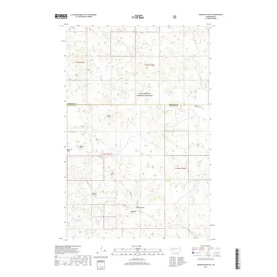
2017 Map of Squaretop Butte
USGS Topo · Published 2017About this map
The Little Missouri National Grassland dominates this landscape on the border of McKenzie and Billings Counties. This 2017 survey reveals a complex network of geological formations and drainage patterns typical of the North Dakota badlands. Prominent landmarks such as Big Top Mesa, Tower Butte, and the namesake Squaretop Butte rise above the surrounding terrain. The intricate hydrology of the region is traced by Magpie Cr, Sand Cr, and Whitetail Cr, which carve through the land creating features like Anderson Coulee and Scairt Woman Draw. The map documents the sparse infrastructure of this area, showing only a few established routes such as Magpie Rd and the trail through Goats Pass, emphasizing the open, undeveloped character of the national grassland.
Find a feature on this map
20 named features on this map. Tap any name to fly to it.
Don’t see what you’re looking for? This feature index may not catch every label — zoom into the map to look around manually.
Map Details
Editions of this 2017 Squaretop Butte Map
This is the sole edition of this map. No revisions or reprints were ever made.
Other maps of this area
1953 · Watford City
USGS Topo · 1:250,000
1957 · Watford City
USGS Topo · 1:250,000
1963 · Gorham NW
USGS Topo · 1:24,000
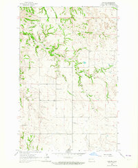
1963 · Gorham
USGS Topo · 1:24,000
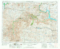
1967 · Watford City
USGS Topo · 1:250,000
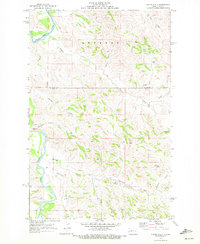
1970 · Hanks Gully
USGS Topo · 1:24,000
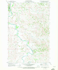
1970 · Roosevelt Creek East
USGS Topo · 1:24,000
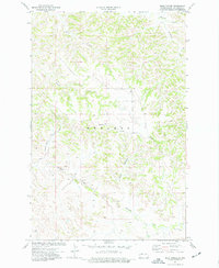
1974 · Wolf Coulee
USGS Topo · 1:24,000
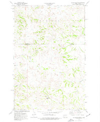
1974 · Squaretop Butte
USGS Topo · 1:24,000
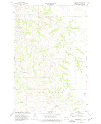
1974 · Buckskin Butte
USGS Topo · 1:24,000