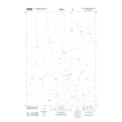
2012 Map of Squaretop Mountain
USGS Topo · Published 2012About this map
Squaretop Mountain and the high peaks of the Wind River Range dominate this 2012 survey of the Wyoming wilderness. The landscape is defined by its dramatic hydrology, where the Green River flows through the northeast and the New Fork River emerges from the glacial basins of New Fork Park. This map reveals a complex system of alpine water bodies, including Granite Lake, Hidden Lakes, and the Cutthroat Lakes, all situated among prominent summits like Granite Peak and Dome Peak. The drainage patterns are clearly marked by Porcupine Cr, Marten Cr, and Lake Cr, which carve through the high-elevation terrain. This modern topographic record is essential for understanding the contemporary state of the Wyoming backcountry, detailing the remote corridors of Palmer Canyon and the high-altitude crossing at Porcupine Pass.
Find a feature on this map
31 named features on this map. Tap any name to fly to it.
Don’t see what you’re looking for? This feature index may not catch every label — zoom into the map to look around manually.
Map Details
Editions of this 2012 Squaretop Mountain Map
This is the sole edition of this map. No revisions or reprints were ever made.
Other maps of this area
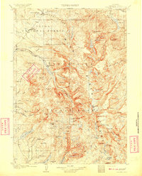
1909 · Fremont Peak
USGS Topo · 1:125,000

1955 · Thermopolis
USGS Topo · 1:250,000
1958 · Thermopolis
USGS Topo · 1:250,000
1962 · Thermopolis
USGS Topo · 1:250,000
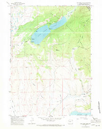
1967 · New Fork Lakes
USGS Topo · 1:24,000
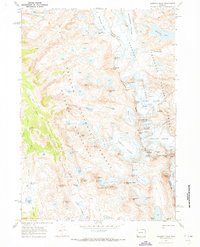
1968 · Gannett Peak
USGS Topo · 1:24,000
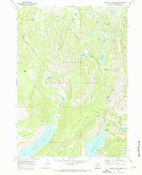
1968 · Fremont Lake North
USGS Topo · 1:24,000
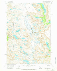
1968 · Downs Mountain
USGS Topo · 1:24,000
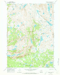
1968 · Bridger Lakes
USGS Topo · 1:24,000
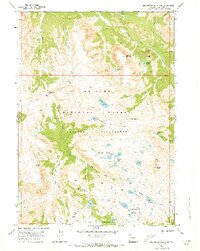
1968 · Squaretop Mountain
USGS Topo · 1:24,000