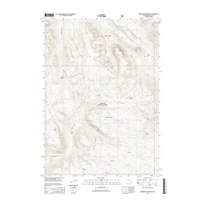
2015 Map of Squaretop Mountain
USGS Topo · Published 2015About this map
The Bridger National Forest high country defines this 2015 survey, where glacial carved summits and alpine drainages form the headwaters of the Green River. A prominent section of the Continental Divide National Scenic Trail- Wyoming Portion traverses the northeastern quadrant, skirting Granite Peak and overlooking Beaver Park. The landscape is characterized by its high-altitude peaks, including Squaretop Mtn and Glover Peak, which overlook a network of water bodies such as Granite Lake, Hidden Lakes, and the New Fork River. Notable for its absence of roads, the area relies on historic trail corridors like Porcupine Pass and natural landmarks such as New Fork Park to orient travelers. Researchers will find a preserved wilderness where topographic features like Palmer Canyon and Dome Peak have remained consistent landmarks for generations.
Find a feature on this map
33 named features on this map. Tap any name to fly to it.
Don’t see what you’re looking for? This feature index may not catch every label — zoom into the map to look around manually.
Map Details
Editions of this 2015 Squaretop Mountain Map
This is the sole edition of this map. No revisions or reprints were ever made.
Other maps of this area
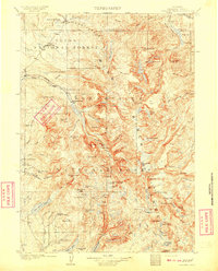
1909 · Fremont Peak
USGS Topo · 1:125,000

1955 · Thermopolis
USGS Topo · 1:250,000
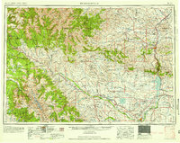
1958 · Thermopolis
USGS Topo · 1:250,000
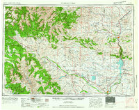
1962 · Thermopolis
USGS Topo · 1:250,000
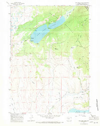
1967 · New Fork Lakes
USGS Topo · 1:24,000
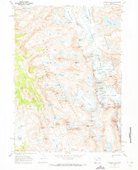
1968 · Gannett Peak
USGS Topo · 1:24,000
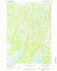
1968 · Fremont Lake North
USGS Topo · 1:24,000
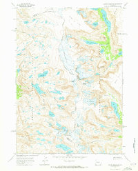
1968 · Downs Mountain
USGS Topo · 1:24,000
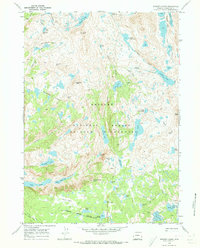
1968 · Bridger Lakes
USGS Topo · 1:24,000
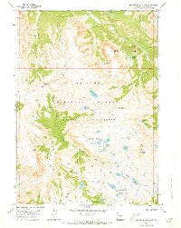
1968 · Squaretop Mountain
USGS Topo · 1:24,000