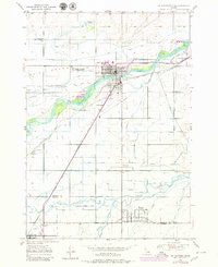
1950 Map of St Anthony
USGS Topo · Published 1980About this map
St. Anthony serves as the focal point of this mid-century agricultural landscape, situated at a significant hydraulic junction where the Henrys Fork and Teton River carve through the Snake River Plain. The map meticulously documents an extensive network of irrigation infrastructure essential to the region's productivity, including the St. Anthony Canal, Last Chance Canal, and Farmers Friend Canal. These man-made waterways define the settlement patterns around the Egin Bench and the neighboring communities of Twin Groves, Wilford, and Teton. Cultural landmarks such as the Idaho Industrial Training School and the Riverview Cemetery provide specific points of interest for genealogists and local historians. The transportation corridor is anchored by the Union Pacific railroad and the Yellowstone Highway, tracing the movement of goods and travelers through Fremont and Madison counties during this era of post-war growth.
Find a feature on this map
44 named features on this map. Tap any name to fly to it.
Don’t see what you’re looking for? This feature index may not catch every label — zoom into the map to look around manually.
Map Details
Editions of this 1950 St Anthony Map
3 editions found
Other maps of this area

1948 · Parker
USGS Topo · 1:24,000

1949 · Rexburg
USGS Topo · 1:24,000

1949 · Newdale
USGS Topo · 1:24,000

1950 · Parker
USGS Topo · 1:24,000

1950 · Rexburg
USGS Topo · 1:24,000

1950 · Newdale
USGS Topo · 1:24,000

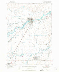
1950 · St Anthony
USGS Topo · 1:24,000

1951 · Moody
USGS Topo · 1:24,000

1951 · White Owl Butte
USGS Topo · 1:24,000

1955 · Ashton
USGS Topo · 1:250,000