
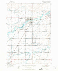
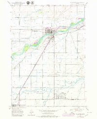
1950 Map of St Anthony
USGS Topo · Published 1950About this map
St. Anthony serves as the focal point of this mid-century landscape, where the confluence of the Henrys Fork and a complex web of man-made irrigation infrastructure defines the region's agricultural character. This 1950 survey detail reveals an intricate hydraulic network essential for farming on the Egin Bench, featuring the Last Chance Canal, Independent Canal, and the Salem Union Canal.
Find a feature on this map
44 named features on this map. Tap any name to fly to it.
Don’t see what you’re looking for? This feature index may not catch every label — zoom into the map to look around manually.
Map Details
Editions of this 1950 St Anthony Map
3 editions found
Other maps of this area

1948 · Parker
USGS Topo · 1:24,000

1949 · Rexburg
USGS Topo · 1:24,000

1949 · Newdale
USGS Topo · 1:24,000

1950 · Parker
USGS Topo · 1:24,000

1950 · Rexburg
USGS Topo · 1:24,000

1950 · Newdale
USGS Topo · 1:24,000

1951 · Moody
USGS Topo · 1:24,000

1951 · White Owl Butte
USGS Topo · 1:24,000

1955 · Ashton
USGS Topo · 1:250,000

1955 · Driggs
USGS Topo · 1:250,000