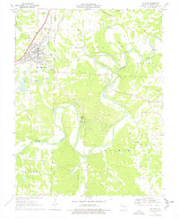
1969 Map of St. Clair
USGS Topo · Published 1978About this map
St Clair serves as the regional hub of this landscape where the St Louis - San Francisco railroad and multiple highways converge above the winding Meramec River. The town's layout includes the St Clair Municipal Airport and residential developments like Parkway, while smaller outposts like Piney Park sit further south near the river's edge. This 1969 perspective illustrates a transition from the structured street grid of the town to the irregular drainage patterns of Brush Creek and Indian Creek.
Find a feature on this map
26 named features on this map. Tap any name to fly to it.
Don’t see what you’re looking for? This feature index may not catch every label — zoom into the map to look around manually.
Map Details
Editions of this 1969 St. Clair Map
2 editions found
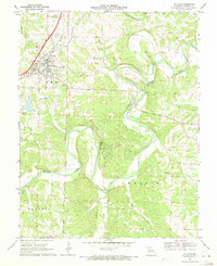
Other maps of this area

1901 · De Soto
USGS Topo · 1:125,000

1903 · Sullivan
USGS Topo · 1:125,000

1934 · Meramec State Park
USGS Topo · 1:24,000

1937 · Meramec State Park
USGS Topo · 1:24,000

1946 · Richwoods
USGS Topo · 1:62,500

1946 · Union
USGS Topo · 1:62,500

1947 · Sullivan
USGS Topo · 1:62,500

1947 · St. Clair
USGS Topo · 1:62,500

1948 · Richwoods
USGS Topo · 1:62,500

1948 · Union
USGS Topo · 1:62,500