
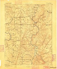
1891 Map of St. George
USGS Topo · Published 1895About this map
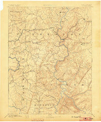
The Baltimore and Ohio Railroad dictates the movement of people and industry across the northern portion of this landscape, connecting settlements like Kingwood, Rowlesburg, and Terra Alta. To the south, the terrain becomes increasingly dominant as the Great Backbone Mountain and Shavers Mountain rise above the river valleys. The Cheat River carves a path through these ranges, passing the settlement of St George and Limestone Mountain.
Find a feature on this map
94 named features on this map. Tap any name to fly to it.
Don’t see what you’re looking for? This feature index may not catch every label — zoom into the map to look around manually.
Map Details
Editions of this 1891 St. George Map
3 editions found
Other maps of this area

1886 · St. George
USGS Topo · 1:125,000

1889 · Beverly
USGS Topo · 1:125,000

1892 · Beverly
USGS Topo · 1:125,000

1892 · Franklin
USGS Topo · 1:125,000

1893 · Buckhannon
USGS Topo · 1:125,000

1895 · Piedmont
USGS Topo · 1:125,000

1896 · Buckhannon
USGS Topo · 1:125,000

1896 · Franklin
USGS Topo · 1:125,000

1897 · Buckhannon
USGS Topo · 1:125,000

1899 · Oakland
USGS Topo · 1:62,500