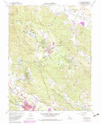
1960 Map of St. Helena
USGS Topo · Published 1983About this map
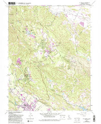
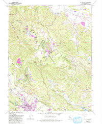
St Helena sits at the heart of the Napa Valley floor, serving as a hub for the local viticulture industry marked by numerous Wineries and the Southern Pacific railroad line. The landscape transitions sharply from the valley floor up the slopes of Glass Mtn toward the academic and residential community of Angwin on Howell Mountain. This high-altitude settlement is home to Pacific Union College and the Bradley Young Observatory, representing a significant institutional presence in the hills.
Find a feature on this map
75 named features on this map. Tap any name to fly to it.
Don’t see what you’re looking for? This feature index may not catch every label — zoom into the map to look around manually.
Map Details
Editions of this 1960 St. Helena Map
6 editions found
Other maps of this area

1902 · Napa
USGS Topo · 1:125,000

1916 · Santa Rosa
USGS Topo · 1:62,500

1927 · Calistoga
USGS Topo · 1:62,500

1942 · Sonoma
USGS Topo · 1:62,500

1942 · St. Helena
USGS Topo · 1:62,500

1943 · Calistoga
USGS Topo · 1:62,500

1944 · Santa Rosa
USGS Topo · 1:62,500

1945 · Calistoga
USGS Topo · 1:62,500

1945 · St. Helena
USGS Topo · 1:62,500

1947 · Santa Rosa
USGS Topo · 1:250,000