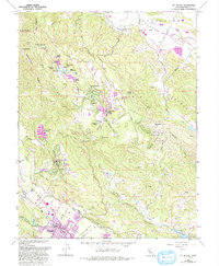
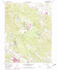
1960 Map of St. Helena
USGS Topo · Published 1993About this map
St Helena serves as the focal point for this survey of the northern Napa Valley, where the Napa River flows past historic viticultural areas like Krug and Barro. The landscape rises sharply into the mountains to the east, home to the sprawling campus of Pacific Union College and the community of Angwin. These highlands are marked by complex water systems, including the cluster of lakes near Inspiration Point such as Deer Lake and Lake Whitehead, which fed the agricultural and residential needs of the ridge settlements.
Find a feature on this map
70 named features on this map. Tap any name to fly to it.
Don’t see what you’re looking for? This feature index may not catch every label — zoom into the map to look around manually.
Map Details
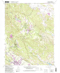
Editions of this 1960 St. Helena Map
6 editions found
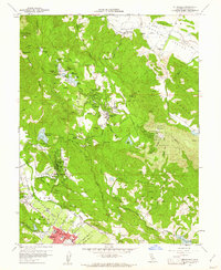
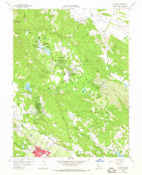
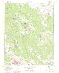
Other maps of this area

1902 · Napa
USGS Topo · 1:125,000

1916 · Santa Rosa
USGS Topo · 1:62,500

1927 · Calistoga
USGS Topo · 1:62,500

1942 · Sonoma
USGS Topo · 1:62,500

1942 · St. Helena
USGS Topo · 1:62,500

1943 · Calistoga
USGS Topo · 1:62,500

1944 · Santa Rosa
USGS Topo · 1:62,500

1945 · Calistoga
USGS Topo · 1:62,500

1945 · St. Helena
USGS Topo · 1:62,500

1947 · Santa Rosa
USGS Topo · 1:250,000