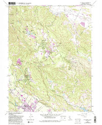
1960 Map of St. Helena
USGS Topo · Published 1993About this map
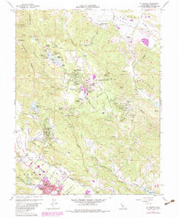
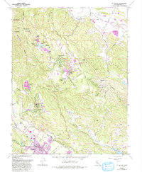
The Napa River corridor defines the southwestern portion of this map, where the town of St Helena serves as a focal point for the region’s agricultural and residential development. Along Main Street and Pratt Avenue, the town's grid expands toward the base of the surrounding hills, while the St Helena Jr High Sch and nearby vineyards reflect the community's established roots. To the northeast, the terrain rises sharply toward Howell Mountain, where the community of Angwin is centered around Pacific Union College and the Newton Observatory.
Find a feature on this map
62 named features on this map. Tap any name to fly to it.
Don’t see what you’re looking for? This feature index may not catch every label — zoom into the map to look around manually.
Map Details
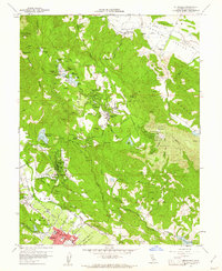
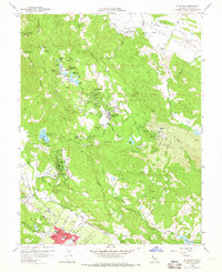
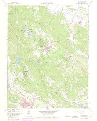
Editions of this 1960 St. Helena Map
6 editions found
Other maps of this area

1902 · Napa
USGS Topo · 1:125,000

1916 · Santa Rosa
USGS Topo · 1:62,500

1927 · Calistoga
USGS Topo · 1:62,500

1942 · Sonoma
USGS Topo · 1:62,500

1942 · St. Helena
USGS Topo · 1:62,500

1943 · Calistoga
USGS Topo · 1:62,500

1944 · Santa Rosa
USGS Topo · 1:62,500

1945 · Calistoga
USGS Topo · 1:62,500

1945 · St. Helena
USGS Topo · 1:62,500

1947 · Santa Rosa
USGS Topo · 1:250,000