
1892 Map of St Johns
USGS Topo · Published 1892About this map
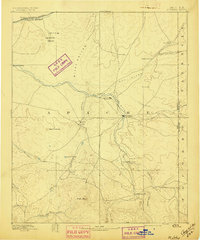
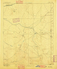
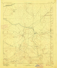
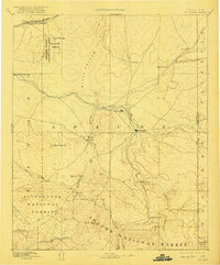
St Johns serves as a central hub in the high desert of eastern Arizona, situated at the confluence of several regional trails and the Little Colorado River. This 1880s survey captures a landscape of early cattle ranching and remote outposts just after the arrival of the Atlantic and Pacific Railroad to the north. The map reveals the early development of Springerville and Concho, alongside now-obscure locations such as Erastus and Mineral. Notable natural landmarks include the Petrified Forest and its Natural Bridge, while the southern reaches of the sheet are dominated by the high elevations of Green Peak. The drainage patterns of the Zuni River and Puerco River illustrate the vital water sources that dictated the placement of settlements like The Meadows and Walnut Grove in this arid territory.
Find a feature on this map
36 named features on this map. Tap any name to fly to it.
Don’t see what you’re looking for? This feature index may not catch every label — zoom into the map to look around manually.
Map Details
Editions of this 1892 St Johns Map
5 editions found
Other maps of this area

1883 · Tusayan
USGS Topo · 1:250,000

1886 · St Johns
USGS Topo · 1:250,000

1886 · Wingate
USGS Topo · 1:250,000

1886 · Tusayan
USGS Topo · 1:250,000

1886 · Fort Defiance
USGS Topo · 1:250,000

1886 · Holbrook
USGS Topo · 1:250,000

1892 · Fort Defiance
USGS Topo · 1:250,000

1892 · Wingate
USGS Topo · 1:250,000

1893 · Holbrook
USGS Topo · 1:250,000

1912 · Petrified Forest
USGS Topo · 1:62,500