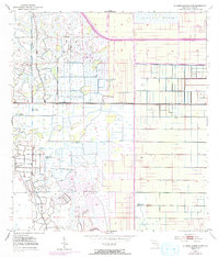
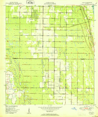
1953 Map of St. Johns Marsh South
USGS Topo · Published 1993About this map
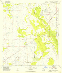
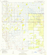
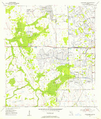
The St Johns Marsh ecosystem dominates this part of St. Lucie County, shown here through a complex network of hydrological engineering. By the early 1950s, the landscape was defined by an extensive system of the Levee and drainage canals, reflecting mid-century efforts to manage Florida's wetlands for agriculture and infrastructure. The map reveals the early path of Floridas Turnpike Toll Road as it cuts across the marshland, marking a significant era of regional connectivity. Scattered across the western sections are several instances of a Flowing Well, indicating the presence of artesian water sources that were vital for local irrigation and land use. The geometric patterns of field lines and property boundaries contrast sharply with the organic forms of the remaining wetlands, illustrating the transformation of the Florida interior during this period of development.
Find a feature on this map
8 named features on this map. Tap any name to fly to it.
Don’t see what you’re looking for? This feature index may not catch every label — zoom into the map to look around manually.
Map Details
Editions of this 1953 St. Johns Marsh South Map
3 editions found
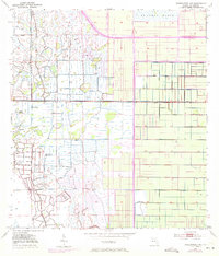
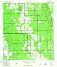
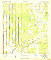
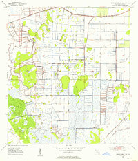
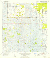
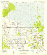
Other maps of this area
1949 · Oslo
USGS Topo · 1:24,000

1949 · Fort Pierce NW
USGS Topo · 1:24,000
1950 · Fort Pierce NW
USGS Topo · 1:24,000
1950 · Oslo
USGS Topo · 1:24,000
1953 · Okeechobee 1 SE
USGS Topo · 1:24,000
1953 · Fellsmere 4 SE
USGS Topo · 1:24,000
1953 · Fellsmere 4 SW
USGS Topo · 1:24,000
1953 · Okeechobee 1 SW
USGS Topo · 1:24,000
1953 · Okeechobee 1 NE
USGS Topo · 1:24,000
1953 · Okeechobee 1 NW
USGS Topo · 1:24,000