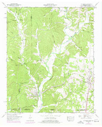
1950 Map of St. Joseph
USGS Topo · Published 1977About this map
Iron City and St Joseph anchor this topographic portrait of the Tennessee-Alabama border, where the Louisville and Nashville Railroad winds through the hills of Lawrence County. The landscape is defined by the deep incision of Shoal Creek, which is fed by numerous tributaries including Holly Creek and Wolf Creek. Settled pockets like Wayland Springs and Chinubee are interspersed with family-named landmarks and rural infrastructure, from the Rockford Sch to several local burial grounds such as Shiloh Cem and Belew Cem.
Find a feature on this map
52 named features on this map. Tap any name to fly to it.
Don’t see what you’re looking for? This feature index may not catch every label — zoom into the map to look around manually.
Map Details
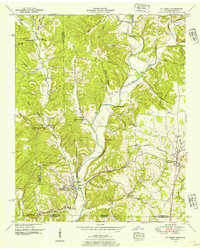
Editions of this 1950 St. Joseph Map
2 editions found
Other maps of this area

1905 · Waynesboro
USGS Topo · 1:125,000

1914 · Rogersville
USGS Topo · 1:48,000

1914 · Muscle Shoals
USGS Topo · 1:48,000

1916 · Muscle Shoals
USGS Topo · 1:62,500

1916 · Rogersville
USGS Topo · 1:62,500

1936 · Westpoint
USGS Topo · 1:24,000

1936 · Collinwood
USGS Topo · 1:24,000

1936 · Light
USGS Topo · 1:24,000

1936 · Long Branch
USGS Topo · 1:24,000

1936 · Loretto
USGS Topo · 1:24,000