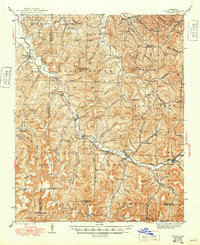
1946 Map of St. Paul
USGS Topo · Published 1949About this map
The White River winds through the Ozark landscape of Madison County, anchoring a series of small riverside communities including St Paul, Delaney, and Patrick. This 1940s-era survey reveals a decentralized network of rural life, where local identity was tied to small mountain schools and country cemeteries. One can trace the course of the river as it passes Thompson and Combs, meeting numerous tributaries such as Skinner Hollow and Mill Creek.
Find a feature on this map
115 named features on this map. Tap any name to fly to it.
Don’t see what you’re looking for? This feature index may not catch every label — zoom into the map to look around manually.
Map Details
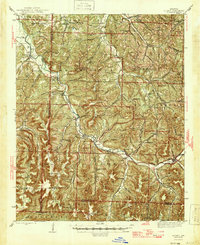
Editions of this 1946 St. Paul Map
2 editions found
Other maps of this area

1879 · Cravens
USGS Topo · 1:62,500

1887 · Watalula
USGS Topo · 1:62,500

1898 · Winslow #4
USGS Topo · 1:62,500

1898 · Winslow
USGS Topo · 1:125,000

1899 · Fayetteville
USGS Topo · 1:125,000

1900 · Eureka Springs
USGS Topo · 1:125,000

1901 · Winslow
USGS Topo · 1:125,000

1901 · Eureka Springs
USGS Topo · 1:125,000

1901 · Fayetteville
USGS Topo · 1:125,000

1904 · Fayetteville
USGS Topo · 1:125,000