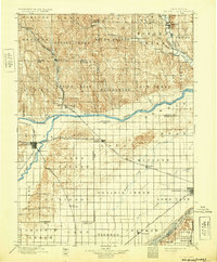
1899 Map of St. Paul
USGS Topo · Published 1932About this map
St. Paul serves as a primary hub for this late 19th-century landscape, where the North Fork Loup River meets the Loup River. The rail network defines the era's commerce, with the Union Pacific and Burlington & Missouri River railroads carving paths through agricultural townships. While much of the southern territory near Central City consists of flat prairie and the wide Platte River valley, the northern reaches display more varied relief. Curious local terrain features such as Four Room Blowout, Mumpumpey Hill, and Pool Hill stand out against the surveyed grid of townships like Lake Vieregg and Gage Valley. Settlement patterns follow the water and rails closely, anchoring towns like Palmer, Wolbach, and St.Libory to the emerging transportation corridors of central Nebraska.
Find a feature on this map
61 named features on this map. Tap any name to fly to it.
Don’t see what you’re looking for? This feature index may not catch every label — zoom into the map to look around manually.
Map Details
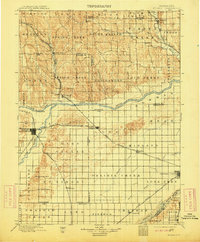
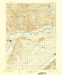
Editions of this 1899 St. Paul Map
4 editions found
Other maps of this area

1892 · Grand Island
USGS Topo · 1:62,500

1895 · Grand Island
USGS Topo · 1:62,500

1895 · Wood River
USGS Topo · 1:62,500

1896 · Wood River
USGS Topo · 1:125,000

1896 · Stromsburg
USGS Topo · 1:125,000

1898 · York
USGS Topo · 1:125,000

1898 · Grand Island
USGS Topo · 1:125,000

1899 · Loup
USGS Topo · 1:125,000

1899 · St. Paul
USGS Topo · 1:125,000

1899 · York
USGS Topo · 1:125,000