
1899 Map of St. Paul
USGS Topo · Published 1899About this map
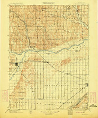
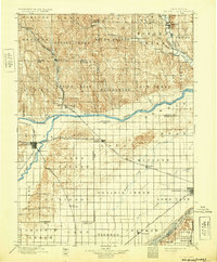
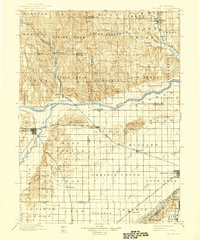
St. Paul serves as the focal point for this late 19th-century survey of Nebraska's fertile central valleys. Located at the confluence of the North Fork Loup River and the Loup River, the town appears as a key rail junction where the Burlington and Missouri River R. R. meets the local lines. The landscape is defined by the broad, braided channels of the Loup and the Platte River, which dictate the placement of early settlements like Central City and Chapman.
Find a feature on this map
63 named features on this map. Tap any name to fly to it.
Don’t see what you’re looking for? This feature index may not catch every label — zoom into the map to look around manually.
Map Details
Editions of this 1899 St. Paul Map
4 editions found
Other maps of this area

1892 · Grand Island
USGS Topo · 1:62,500

1895 · Grand Island
USGS Topo · 1:62,500

1895 · Wood River
USGS Topo · 1:62,500

1896 · Wood River
USGS Topo · 1:125,000

1896 · Stromsburg
USGS Topo · 1:125,000

1898 · York
USGS Topo · 1:125,000

1898 · Grand Island
USGS Topo · 1:125,000

1899 · Loup
USGS Topo · 1:125,000

1899 · York
USGS Topo · 1:125,000

1953 · Dannebrog
USGS Topo · 1:24,000