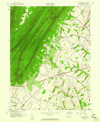
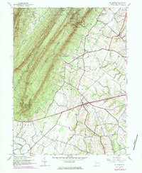
1944 Map of St Thomas
USGS Topo · Published 1960About this map
The ridge-and-valley landscape of Franklin County is defined by the massive presence of Kit Tatinny Mountain and Front Mountain as it appeared during the mid-1940s. At the foot of these slopes, the settlement of St Thomas sits at a crossroads, while the industrial legacy of the region is marked by Franklin Furnace near the forest edge. The map reveals a complex system of gaps and saddles, such as Yankees Gap and Nancys Saddle, which historically dictated movement between Horse Valley and the fertile lowlands. Significant portions of the mountain terrain are protected within the Buchanan State Forest and the Letterkenny military reservation. Drainage patterns are established by the W Br Conococheague Creek and its tributaries, winding through the township divisions of Metal, St Thomas, and Peters. This survey captures the rural infrastructure before late-century development, focusing on family-named landmarks like Parnell Knob.
Find a feature on this map
29 named features on this map. Tap any name to fly to it.
Don’t see what you’re looking for? This feature index may not catch every label — zoom into the map to look around manually.
Map Details
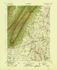
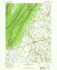
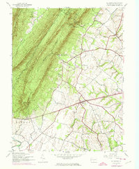
Editions of this 1944 St Thomas Map
5 editions found
Other maps of this area

1900 · Mercersburg
USGS Topo · 1:62,500

1902 · Chambersburg
USGS Topo · 1:62,500

1902 · Mercersburg
USGS Topo · 1:62,500

1923 · Shippensburg
USGS Topo · 1:62,500

1939 · Orbisonia
USGS Topo · 1:62,500

1940 · Orbisonia
USGS Topo · 1:62,500

1942 · Hagerstown
USGS Topo · 1:125,000

1943 · Hagerstown
USGS Topo · 1:125,000

1943 · Mercersburg
USGS Topo · 1:24,000

1943 · Chambersburg
USGS Topo · 1:62,500
Featured Places
- Metal Township, PA
- Hamilton Township, PA
- Letterkenny Township, PA
- Edenville, St. Thomas Township
- Peters Township, PA