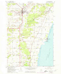
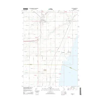
1967 Map of Standish
USGS Topo · Published 1974About this map
The city of Standish stands as a central hub in this mid-century survey, situated at the junction of major roads and the Penn Central railroad lines. The landscape to the east slopes toward Saginaw Bay, where the shoreline is punctuated by Whites Beach and the Great Lakes Marina. Between the city and the bay, the land is defined by the branching network of the Pine River and Saganing River, which meander through a series of local sandpits that reflect the era's light industrial activity. Notable for genealogists are the multiple community burial grounds, including St Johns Cem, Woodmere Cem, and Pine River Cem. Cultural markers of the 1960s and 70s are visible in the landscape, such as the Drive-in Theater south of town and the Standish City Airport.
Find a feature on this map
55 named features on this map. Tap any name to fly to it.
Don’t see what you’re looking for? This feature index may not catch every label — zoom into the map to look around manually.
Map Details
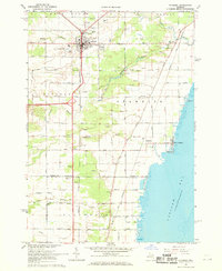
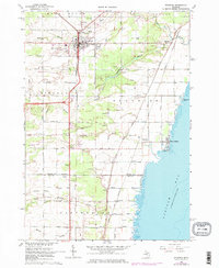
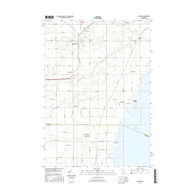
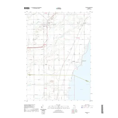
Editions of this 1967 Standish Map
3 editions found
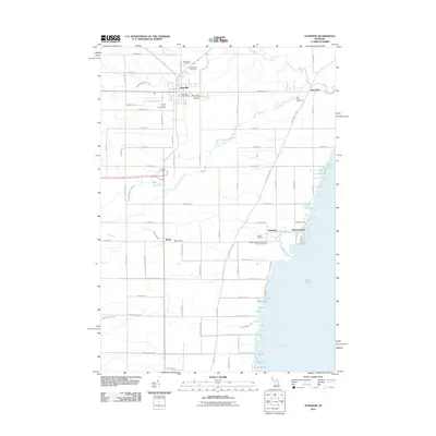
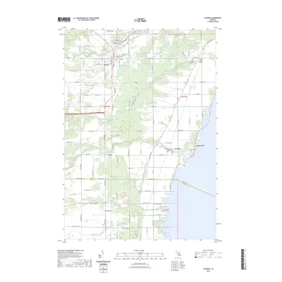
Historical Maps of Standish Through Time
6 maps found
Featured Locations
- Lincoln Township, MI
- Standish, MI
- Standish Township, MI
- Pinconning Township, MI
- Whites Beach, Standish Township