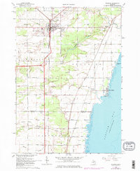
1967 Map of Standish
USGS Topo · Published 1974About this map
Standish serves as a central hub at the intersection of local industry and transport along the western shores of Saginaw Bay. The settlement patterns here are defined by the Detroit and Mackinac railroad line, which runs parallel to the coastline, supporting a landscape of agriculture and community institutions like the County Fairground and Standish City Airport. In the northern reaches, the Pine River and its various branches, including the Middle Branch Pine River and South Branch Pine River, carve through the terrain toward the bay.
Find a feature on this map
46 named features on this map. Tap any name to fly to it.
Don’t see what you’re looking for? This feature index may not catch every label — zoom into the map to look around manually.
Map Details
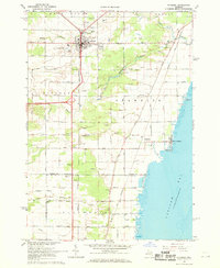
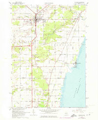
Editions of this 1967 Standish Map
3 editions found
Other maps of this area

1954 · Traverse City
USGS Topo · 1:250,000

1954 · Midland
USGS Topo · 1:250,000

1954 · Flint
USGS Topo · 1:250,000

1954 · Tawas City
USGS Topo · 1:250,000

1958 · Traverse City
USGS Topo · 1:250,000

1958 · Flint
USGS Topo · 1:250,000

1958 · Tawas City
USGS Topo · 1:250,000

1958 · Midland
USGS Topo · 1:250,000

1959 · Midland
USGS Topo · 1:250,000

1966 · Midland
USGS Topo · 1:250,000