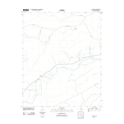
2012 Map of Stanley
USGS Topo · Published 2012About this map
The Kiamichi River defines the lower geography of this region in Pushmataha County, winding past the small settlement of Stanley. This area is characterized by a network of creeks and rugged upland trails, where water bodies like Crumb Cr, Little Cedar Cr, and Maxwell Cr feed into the primary river valley. Local landmarks such as Umbrella Rock and the Flagpole Lookout Tower overlook a landscape largely shaped by these riparian corridors and the forest management indicated by the naming of various timber access routes.
Find a feature on this map
26 named features on this map. Tap any name to fly to it.
Don’t see what you’re looking for? This feature index may not catch every label — zoom into the map to look around manually.
Map Details
Editions of this 2012 Stanley Map
This is the sole edition of this map. No revisions or reprints were ever made.
Other maps of this area

1898 · McAlester
USGS Topo · 1:125,000

1901 · Antlers
USGS Topo · 1:125,000

1901 · Tuskahoma
USGS Topo · 1:125,000

1901 · Alikchi
USGS Topo · 1:125,000

1908 · Tuskahoma
USGS Topo · 1:125,000

1909 · Mc Alester
USGS Topo · 1:125,000

1909 · Tuskahoma
USGS Topo · 1:125,000

1912 · Antlers
USGS Topo · 1:125,000

1925 · Antlers
USGS Topo · 1:125,000

1950 · Mcalester
USGS Topo · 1:250,000