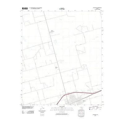
2010 Map of Stanton
USGS Topo · Published 2010About this map
Stanton serves as the focal point of this West Texas landscape, positioned at the intersection of critical transport routes including I-20F Bus and State Spur 214. The town's layout is clearly defined against the surrounding agricultural and ranching grid, with the Stanton Municipal Airport situated to the north along the corridor to the Permian Basin Encampment. This region of Martin County is characterized by a series of ephemeral water features and the drainage of Calf Creek, which meanders through the northern plains. The road network, including Ranch Rd 3113 and Farm Rd 3033, illustrates the transition from urban settlement to the vast, open acreage of the Llano Estacado. This 2010 survey reflects a period of established energy and agricultural infrastructure, capturing the spatial relationship between the town center and the outlying county roads that support the local economy.
Find a feature on this map
27 named features on this map. Tap any name to fly to it.
Don’t see what you’re looking for? This feature index may not catch every label — zoom into the map to look around manually.
Map Details
Editions of this 2010 Stanton Map
This is the sole edition of this map. No revisions or reprints were ever made.
Other maps of this area

1941 · Morita
USGS Topo · 1:62,500

1949 · Morita
USGS Topo · 1:62,500

1954 · Big Spring
USGS Topo · 1:250,000

1958 · Big Spring
USGS Topo · 1:250,000

1966 · Lenorah West
USGS Topo · 1:24,000

1966 · Natural Dam Lake
USGS Topo · 1:24,000
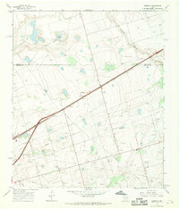
1966 · Germania
USGS Topo · 1:24,000
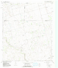
1966 · Houston Ranch
USGS Topo · 1:24,000

1966 · Stanton
USGS Topo · 1:24,000

1966 · Knott SW
USGS Topo · 1:24,000