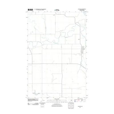
2011 Map of Stanton
USGS Topo · Published 2011About this map
The confluence of the Missouri River and the Knife River defines the landscape surrounding Stanton, the seat of Mercer County. This 2011 survey illustrates the town's grid west of the riverbanks, where streets like Main St and North Ave terminate at the rising water. The surrounding prairie is bisected by a network of drainage systems including Elm Creek and Raymond Creek, which meander through the northern sections toward the larger rivers.
Find a feature on this map
33 named features on this map. Tap any name to fly to it.
Don’t see what you’re looking for? This feature index may not catch every label — zoom into the map to look around manually.
Map Details
Editions of this 2011 Stanton Map
This is the sole edition of this map. No revisions or reprints were ever made.
Other maps of this area

1948 · Stanton
USGS Topo · 1:62,500

1949 · Stanton
USGS Topo · 1:62,500

1954 · McClusky
USGS Topo · 1:250,000

1958 · McClusky
USGS Topo · 1:250,000

1967 · Stanton SE
USGS Topo · 1:24,000

1968 · Hannover NE
USGS Topo · 1:24,000

1968 · Red Butte
USGS Topo · 1:24,000

1968 · Stanton
USGS Topo · 1:24,000

1968 · Hannover NW
USGS Topo · 1:24,000

1968 · Hazen East
USGS Topo · 1:24,000