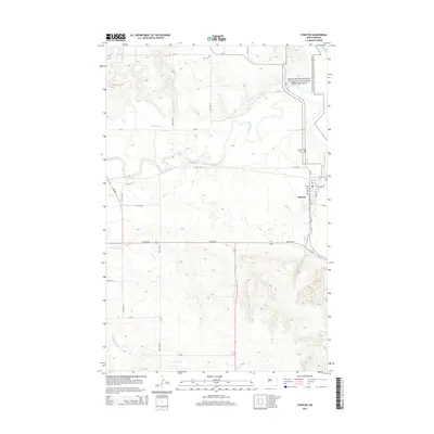
2014 Map of Stanton
USGS Topo · Published 2014About this map
The town of Stanton sits near the confluence of the Knife River and the Missouri River valley, serving as a gateway to the region's ancient indigenous history. Adjacent to the town, the Knife River Indian Villages National Historic Site preserves a landscape of significant cultural heritage. The terrain is defined by the winding paths of the Knife River and its tributaries, including Raymond Cr and Elm Cr, which carve through the plains. For researchers and local historians, the map identifies specific burial sites such as Zion Cem to the north and the Stanton Cem on the edge of town. The transportation network is anchored by ND-200, ND-200-Alt, and ND-31, illustrating the modern infrastructure that connects these rural communities and historical landmarks across the North Dakota landscape.
Find a feature on this map
24 named features on this map. Tap any name to fly to it.
Don’t see what you’re looking for? This feature index may not catch every label — zoom into the map to look around manually.
Map Details
Editions of this 2014 Stanton Map
This is the sole edition of this map. No revisions or reprints were ever made.
Other maps of this area

1948 · Stanton
USGS Topo · 1:62,500

1949 · Stanton
USGS Topo · 1:62,500

1954 · McClusky
USGS Topo · 1:250,000

1958 · McClusky
USGS Topo · 1:250,000

1967 · Stanton SE
USGS Topo · 1:24,000

1968 · Hannover NE
USGS Topo · 1:24,000

1968 · Red Butte
USGS Topo · 1:24,000

1968 · Stanton
USGS Topo · 1:24,000

1968 · Hannover NW
USGS Topo · 1:24,000

1968 · Hazen East
USGS Topo · 1:24,000