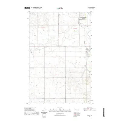
2020 Map of Stanton
USGS Topo · Published 2020About this map
Knife River Indian Villages National Historic Site dominates the northeastern landscape where the Knife River converges with the Missouri River. This protected area preserves the archaeological heritage of Hidatsa and Mandan settlements, while the nearby town of Stanton serves as the seat of local government, anchored by the Mercer County Courthouse. The map reveals a town grid defined by streets like Main St and Arthur St, positioned just south of the historic village sites.
Find a feature on this map
32 named features on this map. Tap any name to fly to it.
Don’t see what you’re looking for? This feature index may not catch every label — zoom into the map to look around manually.
Map Details
Editions of this 2020 Stanton Map
This is the sole edition of this map. No revisions or reprints were ever made.
Other maps of this area

1948 · Stanton
USGS Topo · 1:62,500

1949 · Stanton
USGS Topo · 1:62,500

1954 · McClusky
USGS Topo · 1:250,000

1958 · McClusky
USGS Topo · 1:250,000

1967 · Stanton SE
USGS Topo · 1:24,000

1968 · Hannover NE
USGS Topo · 1:24,000

1968 · Red Butte
USGS Topo · 1:24,000

1968 · Stanton
USGS Topo · 1:24,000

1968 · Hannover NW
USGS Topo · 1:24,000

1968 · Hazen East
USGS Topo · 1:24,000