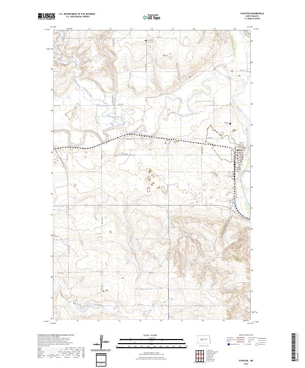
2024 Map of Stanton
USGS Topo · Published 2024About this map
Stanton serves as the focal point of this Mercer County landscape, situated at the confluence of the winding Knife River and its various tributaries. The map highlights the town's civic importance through the presence of the Mercer County Courthouse, while the surrounding terrain is marked by significant cultural preservation at the Knife River Indian Villages National Historic Site. This protected area north of town preserves a complex of earth lodge remains and historical Mandan and Hidatsa settlements.
Find a feature on this map
29 named features on this map. Tap any name to fly to it.
Don’t see what you’re looking for? This feature index may not catch every label — zoom into the map to look around manually.
Map Details
Editions of this 2024 Stanton Map
This is the sole edition of this map. No revisions or reprints were ever made.
Other maps of this area

1948 · Stanton
USGS Topo · 1:62,500

1949 · Stanton
USGS Topo · 1:62,500

1954 · McClusky
USGS Topo · 1:250,000

1958 · McClusky
USGS Topo · 1:250,000

1967 · Stanton SE
USGS Topo · 1:24,000

1968 · Hannover NE
USGS Topo · 1:24,000

1968 · Red Butte
USGS Topo · 1:24,000

1968 · Stanton
USGS Topo · 1:24,000

1968 · Hannover NW
USGS Topo · 1:24,000

1968 · Hazen East
USGS Topo · 1:24,000