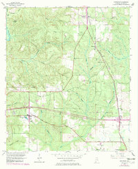
1953 Map of Stapleton
USGS Topo · Published 1983About this map
The Louisville and Nashville railroad anchors this central Baldwin County landscape, cutting a north-south path through the settlements of Stapleton and Loxley. This 1953 revision reflects a rural Alabama community defined by its watercourses and early transit routes, including the Old Spanish Trail traversing the southern portion of the map. The Greek colony at Malbis stands out as a distinct cultural and agricultural hub, marked by the Malbis Cemetery and nearby Turkey Branch School.
Find a feature on this map
33 named features on this map. Tap any name to fly to it.
Don’t see what you’re looking for? This feature index may not catch every label — zoom into the map to look around manually.
Map Details
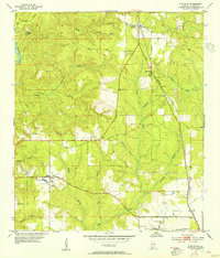
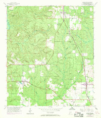
Editions of this 1953 Stapleton Map
3 editions found
Other maps of this area

1920 · Robertsdale
USGS Topo · 1:62,500

1921 · Fairhope
USGS Topo · 1:62,500

1939 · Daphne
USGS Topo · 1:31,680

1940 · Silverhill
USGS Topo · 1:31,680

1941 · Daphne
USGS Topo · 1:31,680

1941 · Silverhill
USGS Topo · 1:31,680

1941 · Blakeley
USGS Topo · 1:31,680

1941 · Bay Minette
USGS Topo · 1:62,500

1941 · Robertsdale
USGS Topo · 1:62,500

1941 · Fairhope
USGS Topo · 1:62,500