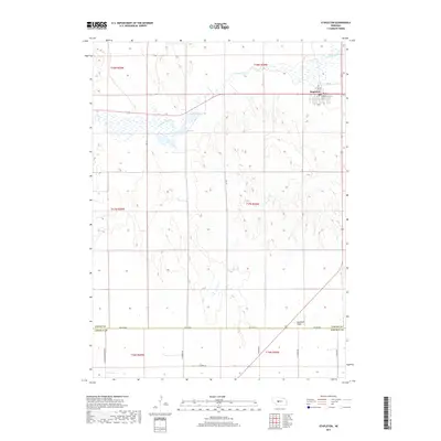
2017 Map of Stapleton
USGS Topo · Published 2017About this map
Stapleton serves as the primary hub of this Logan County landscape, situated where the grid of town streets like 1st St and Main St meet the winding course of the S Loup River. The map captures a high plains environment defined by the transition from the river valley to the elevated Garfield Table in the southeast. This geography dictated the local road network, which follows section lines across the undulating terrain. To the south, the boundary between Logan Co and Lincoln Co is marked by Co Line Rd, a long-standing surveyor's line that anchors the region's rural addresses. The landscape is sparsely populated outside of the village, characterized by widely spaced ranch and farm roads such as N Cattle Growers Rd and N Hodges Rd, reflecting the large-scale land use patterns of the Nebraska Sandhills periphery.
Find a feature on this map
24 named features on this map. Tap any name to fly to it.
Don’t see what you’re looking for? This feature index may not catch every label — zoom into the map to look around manually.
Map Details
Editions of this 2017 Stapleton Map
This is the sole edition of this map. No revisions or reprints were ever made.
Other maps of this area

1899 · North Platte
USGS Topo · 1:125,000

1902 · North Platte
USGS Topo · 1:125,000

1949 · Cody Lake
USGS Topo · 1:62,500

1951 · Cody Lake
USGS Topo · 1:62,500

1951 · Hoagland
USGS Topo · 1:62,500

1954 · North Platte
USGS Topo · 1:250,000

1956 · North Platte
USGS Topo · 1:250,000

1957 · North Platte
USGS Topo · 1:250,000

1967 · North Platte
USGS Topo · 1:250,000

1972 · Stapleton NW
USGS Topo · 1:24,000