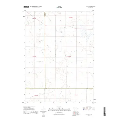
2017 Map of Stapleton NW
USGS Topo · Published 2017About this map
The S Loup River winds through this section of the Nebraska Sandhills, marking a landscape defined by its subtle hydrology and rural road network. Located at the intersection of three counties, the map captures the transition across the borders of McPherson, Logan, and Lincoln counties. The most prominent cultural landmark is the Loup Valley Cem, situated north of the river near Co Rd 65. This area remains predominantly agricultural, with the grid of section lines reflected in local thoroughfares like S Countyline Rd and Co Line Rd. The map provides a detailed view of the terrain's drainage patterns and the isolated homestead access points that characterize this sparsely populated region of central Nebraska.
Find a feature on this map
21 named features on this map. Tap any name to fly to it.
Don’t see what you’re looking for? This feature index may not catch every label — zoom into the map to look around manually.
Map Details
Editions of this 2017 Stapleton NW Map
This is the sole edition of this map. No revisions or reprints were ever made.
Other maps of this area

1899 · North Platte
USGS Topo · 1:125,000

1902 · North Platte
USGS Topo · 1:125,000

1949 · Cody Lake
USGS Topo · 1:62,500

1951 · Tryon
USGS Topo · 1:62,500

1951 · Cody Lake
USGS Topo · 1:62,500

1954 · North Platte
USGS Topo · 1:250,000

1956 · North Platte
USGS Topo · 1:250,000

1957 · North Platte
USGS Topo · 1:250,000

1967 · North Platte
USGS Topo · 1:250,000

1972 · Stapleton NW
USGS Topo · 1:24,000