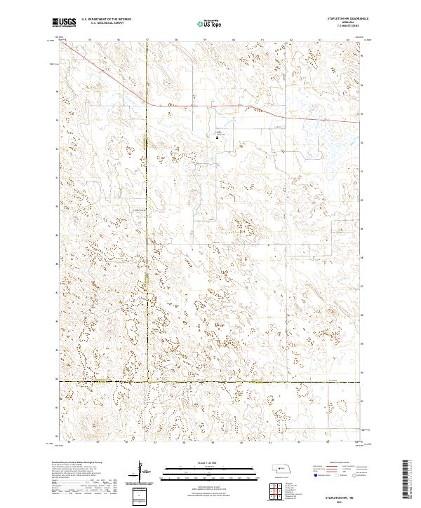
2021 Map of Stapleton NW
USGS Topo · Published 2021About this map
The S Loup River winds through the northern portion of this landscape, carving a path across the tri-county junction where Logan, McPherson, and Lincoln counties meet. This region is characterized by its agricultural layout and remote rural infrastructure, anchored by the Loup Valley Cem which sits near the river's southern bank. The terrain is marked by a network of sectional roads and county lines, including Co Line Rd and S Countyline Rd, which define the political and geographic boundaries of the Nebraska Sandhills periphery. Local transport is facilitated by rural routes such as Lariat Rd and Fowler Dr, reflecting the sparse but organized settlement pattern of the early 21st century. The map provides a clear record of land divisions and the hydrologic influence of the South Loup headwaters on this high plains environment.
Find a feature on this map
21 named features on this map. Tap any name to fly to it.
Don’t see what you’re looking for? This feature index may not catch every label — zoom into the map to look around manually.
Map Details
Editions of this 2021 Stapleton NW Map
This is the sole edition of this map. No revisions or reprints were ever made.
Other maps of this area

1899 · North Platte
USGS Topo · 1:125,000

1902 · North Platte
USGS Topo · 1:125,000

1949 · Cody Lake
USGS Topo · 1:62,500

1951 · Tryon
USGS Topo · 1:62,500

1951 · Cody Lake
USGS Topo · 1:62,500

1954 · North Platte
USGS Topo · 1:250,000

1956 · North Platte
USGS Topo · 1:250,000

1957 · North Platte
USGS Topo · 1:250,000

1967 · North Platte
USGS Topo · 1:250,000

1972 · Stapleton NW
USGS Topo · 1:24,000