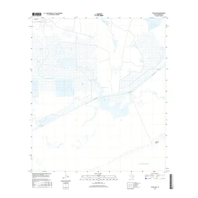
2016 Map of Star Lake
USGS Topo · Published 2016About this map
The coastal wetlands of Jefferson County are defined by a complex network of marshes and water management features. Spindletop Marsh and Salt Bayou Marsh dominate the interior, where the Spindletop Ditch and Spindletop Gully regulate the flow of water across this low-lying landscape. The geography is anchored by Star Lake and the prominent Intracoastal Waterway, which serves as a vital artery for maritime transit through the region.
Find a feature on this map
14 named features on this map. Tap any name to fly to it.
Don’t see what you’re looking for? This feature index may not catch every label — zoom into the map to look around manually.
Map Details
Editions of this 2016 Star Lake Map
This is the sole edition of this map. No revisions or reprints were ever made.
Other maps of this area

1950 · Houston
USGS Topo · 1:250,000

1956 · Houston
USGS Topo · 1:250,000

1961 · Star Lake
USGS Topo · 1:24,000

1961 · Mud Lake
USGS Topo · 1:24,000
1961 · Clam Lake
USGS Topo · 1:24,000
1962 · Whites Ranch
USGS Topo · 1:24,000
1962 · Alligator Hole Marsh
USGS Topo · 1:24,000
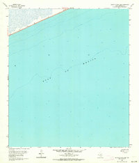
1962 · South of Star Lake
USGS Topo · 1:24,000
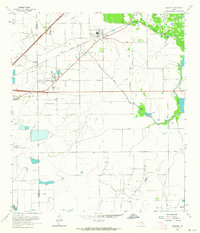
1962 · Hamshire
USGS Topo · 1:24,000
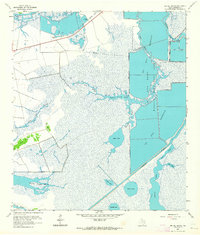
1962 · Big Hill Bayou
USGS Topo · 1:24,000