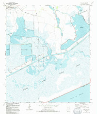
1994 Map of Star Lake
USGS Topo · Published 1994About this map
The Mc Faddin National Wildlife Refuge dominates this coastal Jefferson County landscape, where the managed wetlands of the Salt Bayou Marsh meet the Gulf of Mexico. Industrial and environmental interests coexist across the terrain, notably at the Big Hill Strategic Petroleum Reserve and the adjacent Big Hill Oil Field. A complex network of engineering features, including the Intracoastal Waterway, various Spoil Areas, and an extensive system of Levees, dictates the movement of water through the Spindletop Marsh. These structures protect critical infrastructure like the Big Reservoir and various pumping stations from the tidal influences of the Gulf. For researchers, the map provides a clear record of the intersection between federal energy reserves and large-scale coastal conservation efforts during the mid-1990s.
Find a feature on this map
29 named features on this map. Tap any name to fly to it.
Don’t see what you’re looking for? This feature index may not catch every label — zoom into the map to look around manually.
Map Details
Editions of this 1994 Star Lake Map
This is the sole edition of this map. No revisions or reprints were ever made.
Other maps of this area

1950 · Houston
USGS Topo · 1:250,000

1956 · Houston
USGS Topo · 1:250,000

1961 · Star Lake
USGS Topo · 1:24,000

1961 · Mud Lake
USGS Topo · 1:24,000
1961 · Clam Lake
USGS Topo · 1:24,000
1962 · Whites Ranch
USGS Topo · 1:24,000
1962 · Alligator Hole Marsh
USGS Topo · 1:24,000
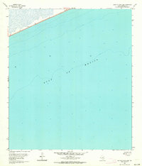
1962 · South of Star Lake
USGS Topo · 1:24,000
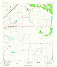
1962 · Hamshire
USGS Topo · 1:24,000
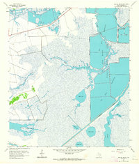
1962 · Big Hill Bayou
USGS Topo · 1:24,000