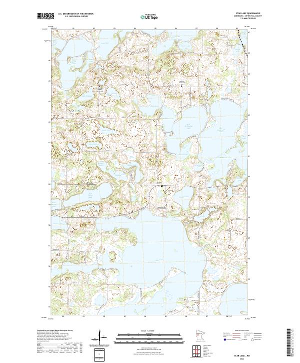
2022 Map of Star Lake
USGS Topo · Published 2022About this map
Star Lake dominates the southern landscape of this Minnesota lakes region, characterized by a complex network of glacial basins and shoreline communities. The area serves as a focal point for local heritage, anchored by the Sacred Heart Catholic Church and its accompanying Sacred Heart Catholic Church Cem. The distribution of burial sites, including the Saint Johns Cem and Weimann Community Cem, points to the early settlement patterns that formed around these water bodies. The terrain is a labyrinth of connected and isolated basins, ranging from the large expanses of Big McDonald Lake and Dead Lake to smaller, secluded features like Alice Lake and Loon Lake. Local transit is defined by lakeside developments and access points such as Beaver Dam Rd and Meyer Beach Dr, which trace the irregular peninsulas and narrows that separate the various lakes.
Find a feature on this map
111 named features on this map. Tap any name to fly to it.
Don’t see what you’re looking for? This feature index may not catch every label — zoom into the map to look around manually.
Map Details
Editions of this 2022 Star Lake Map
This is the sole edition of this map. No revisions or reprints were ever made.
Other maps of this area

1912 · Vergas
USGS Topo · 1:62,500

1912 · Battle Lake
USGS Topo · 1:62,500

1914 · Battle Lake
USGS Topo · 1:62,500

1915 · Underwood
USGS Topo · 1:62,500

1915 · Perham
USGS Topo · 1:62,500

1915 · Vergas
USGS Topo · 1:62,500

1953 · Brainerd
USGS Topo · 1:250,000

1957 · Brainerd
USGS Topo · 1:250,000

1958 · Brainerd
USGS Topo · 1:250,000

1965 · Brainerd
USGS Topo · 1:250,000