
1894 Map of Staunton
USGS Topo · Published 1897About this map
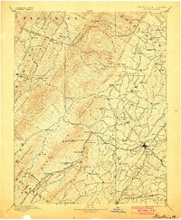
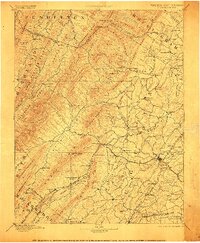
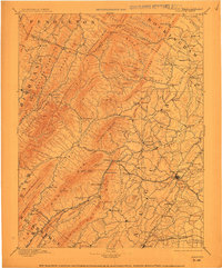
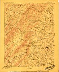
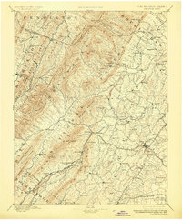
Staunton serves as the focal point of this late 19th-century landscape, positioned where the Shenandoah Valley R. R. and other rail lines converge. The terrain is defined by the massive ridge of the Shenandoah Mtns. and the towering height of Elliott Knob to the west. Between these ridges and the Middle River, a dense network of small agrarian and industrial settlements like Mount Solon, Moscow, and Milnesville reveals the 1890s population distribution of Augusta County.
Find a feature on this map
126 named features on this map. Tap any name to fly to it.
Don’t see what you’re looking for? This feature index may not catch every label — zoom into the map to look around manually.
Map Details
Editions of this 1894 Staunton Map
8 editions found
Other maps of this area

1889 · Beverly
USGS Topo · 1:125,000

1892 · Beverly
USGS Topo · 1:125,000

1892 · Buckingham
USGS Topo · 1:125,000

1892 · Franklin
USGS Topo · 1:125,000

1892 · Woodstock
USGS Topo · 1:125,000

1892 · Harrisonburg
USGS Topo · 1:125,000

1894 · Natural Bridge
USGS Topo · 1:125,000

1894 · Lexington
USGS Topo · 1:125,000

1896 · Franklin
USGS Topo · 1:125,000

1901 · Monterey
USGS Topo · 1:125,000