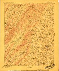
1894 Map of Staunton
USGS Topo · Published 1913About this map
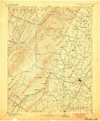
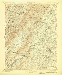
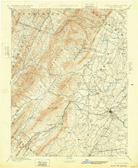
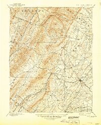
Staunton serves as the bustling valley hub for a landscape defined by the convergence of major mountain ranges and rail lines during the late nineteenth century. The survey illustrates a complex network of transportation and early industry, featuring the B & O R R, C & O R R, and the Shenandoah and Roanoke Div of the N & W R R. These railroads navigate the gaps between massive ridges like North Mountain and Crawford Mountain, connecting remote outposts like Ferrol and Swoope to the regional market center. To the west, the terrain rises sharply toward Elliott Knob, while the valley floor is dotted with small agrarian and milling communities such as Giant Mills, Milnesville, and Stuart Draft. The map captures the intricate drainage patterns of the Middle River and Dry River before the modernization of the Virginia backcountry, preserving the location of family-named landmarks and old crossroads like Parnassus and Arbor Hill.
Find a feature on this map
139 named features on this map. Tap any name to fly to it.
Don’t see what you’re looking for? This feature index may not catch every label — zoom into the map to look around manually.
Map Details
Editions of this 1894 Staunton Map
8 editions found
Other maps of this area

1889 · Beverly
USGS Topo · 1:125,000

1892 · Beverly
USGS Topo · 1:125,000

1892 · Buckingham
USGS Topo · 1:125,000

1892 · Franklin
USGS Topo · 1:125,000

1892 · Woodstock
USGS Topo · 1:125,000

1892 · Harrisonburg
USGS Topo · 1:125,000

1894 · Staunton
USGS Topo · 1:125,000

1894 · Natural Bridge
USGS Topo · 1:125,000

1894 · Lexington
USGS Topo · 1:125,000

1896 · Franklin
USGS Topo · 1:125,000