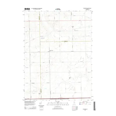
2015 Map of Stavanger
USGS Topo · Published 2015About this map
Stavanger and the surrounding agricultural lands of Grundy, LaSalle, and Kendall Counties are defined by the winding course of Nettle Creek and its tributaries. This rural landscape is anchored by significant community landmarks, including the Stavanger Lutheran Cemetary and the West Lisbon Lutheran Cem, which reflect the area's deep-rooted heritage. The terrain transition is marked by the presence of the Illinois and Michigan Canal National Heritage Corridor along the southern margin, a waterway that fundamentally shaped the development of this region. Local aviation is represented by the Vogen RLA Airport, while smaller family plots like the Holderman and Hoge Cem offer specific points of interest for genealogists tracing local lineage in this corner of Illinois.
Find a feature on this map
38 named features on this map. Tap any name to fly to it.
Don’t see what you’re looking for? This feature index may not catch every label — zoom into the map to look around manually.
Map Details
Editions of this 2015 Stavanger Map
This is the sole edition of this map. No revisions or reprints were ever made.
Other maps of this area

1892 · Morris
USGS Topo · 1:62,500

1892 · Marseilles
USGS Topo · 1:62,500

1916 · Marseilles
USGS Topo · 1:62,500

1918 · Morris
USGS Topo · 1:62,500

1925 · Yorkville
USGS Topo · 1:62,500

1940 · Marseilles
USGS Topo · 1:62,500

1948 · Sandwich
USGS Topo · 1:62,500

1950 · Sandwich
USGS Topo · 1:62,500

1953 · Morris
USGS Topo · 1:24,000

1953 · Plattville
USGS Topo · 1:24,000